
Neighborhood guides
Staten Island, neighborhood by neighborhood
49 neighborhoods compared on real sale prices, transit, parks and flood risk, from public data, with local insight from Stipple agents.
- 1-family median sale
- $720K
- 2,353 sales
- 2-family median sale
- $945K
- 926 sales
- Condo median sale
- $490K
- 439 sales
- Average commute
- 43 min
- 23% commute by transit
NYC Department of Finance sales, October 2025 – September 2026; U.S. Census Bureau ACS 2020–2024.
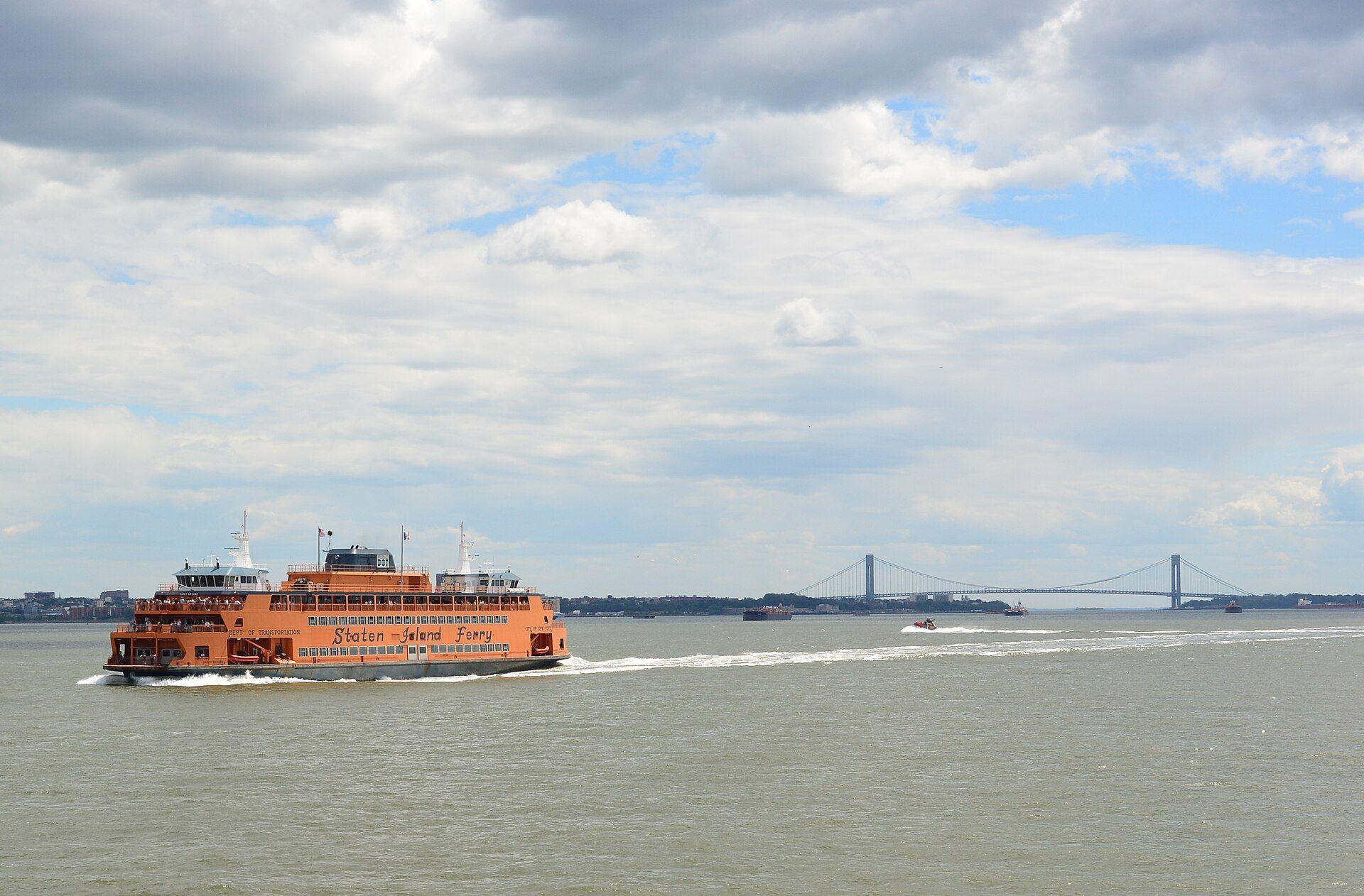
Staten Island is the most open of the five boroughs: hills, woods and long stretches of shoreline, with neighborhoods that range from 19th-century harbor villages to late-20th-century subdivisions. It is connected to Manhattan by the free Staten Island Ferry, to Brooklyn by the Verrazzano-Narrows Bridge, and to New Jersey by three bridges.
Housing here is weighted toward detached, semi-detached and attached houses, many with driveways, though the North Shore near the ferry has older walk-ups and apartment buildings. How you get around depends a lot on where you live: the Staten Island Railway runs down the East and South Shores, while much of the North Shore and the island's center rely on buses and cars.
Map
Explore Staten Island
Shade the areas by price, commute, transit use, flood exposure or parkland. Select a dot to open that neighborhood's guide.
- 1-family median price, by area
- $545K–$595K
- $610K–$697K
- $720K–$738K
- $740K–$755K
- $845K–$950K
- Neighborhood guide
View area data as a table
| Area (NYC NTA) | 1-family median price | Average commute | Commute by transit | Lots in FEMA 1% floodplain | Park acres |
|---|---|---|---|---|---|
| Todt Hill-Emerson Hill-Lighthouse Hill-Manor Heights | $950K | 41 min | 15% | 1.7% | 1580 |
| Tottenville-Charleston | $865K | 40 min | 10% | 9.8% | 434 |
| Annadale-Huguenot-Prince's Bay-Woodrow | $845K | 44 min | 15% | 4.9% | 822 |
| Oakwood-Richmondtown | $755K | 48 min | 28% | 33.8% | 342 |
| West New Brighton-Silver Lake-Grymes Hill | $750K | 41 min | 26% | 1.2% | 270 |
| Great Kills-Eltingville | $740K | 46 min | 19% | 6.3% | 82 |
| Grasmere-Arrochar-South Beach-Dongan Hills | $738K | 43 min | 31% | 22.3% | 164 |
| New Springville-Willowbrook-Bulls Head-Travis | $725K | 43 min | 21% | 4.0% | 848 |
| Westerleigh-Castleton Corners | $720K | 38 min | 19% | 1.2% | 211 |
| New Dorp-Midland Beach | $697K | 45 min | 25% | 59.0% | 17 |
| Rosebank-Shore Acres-Park Hill | $625K | 42 min | 34% | 2.7% | 38 |
| Arden Heights-Rossville | $610K | 41 min | 15% | 0.3% | 322 |
| Port Richmond | $595K | 41 min | 25% | 6.3% | 28 |
| Mariner's Harbor-Arlington-Graniteville | $585K | 46 min | 31% | 5.1% | 233 |
| St. George-New Brighton | $558K | 49 min | 36% | 1.6% | 27 |
| Tompkinsville-Stapleton-Clifton-Fox Hills | $545K | 40 min | 39% | 5.7% | 14 |
Neighborhood matcher
Find your Staten Island match
Set your budget, home type and how you'll get to Manhattan. We rank all 49 neighborhoods using public data.
Your best matches
#1 · North Shore
Stapleton
- Median 1-family house $470K
- Stapleton station 0.3 mi · 5 min to the ferry
#2 · North Shore
Tompkinsville
- Median 1-family house $738K
- Tompkinsville station 0.5 mi · 3 min to the ferry
#3 · North Shore
New Brighton
- Median 1-family house $540K
- Tompkinsville station 0.6 mi · 3 min to the ferry
See all 49 neighborhoods ranked
- 01Stapleton$470K
- 02Tompkinsville$738K
- 03New Brighton$540K
- 04Clifton$630K
- 05Rosebank$657K
- 06Arrochar$688K
- 07Concord$530K
- 08Grant City$735K
- 09New Dorp$795K
- 10Grasmere$840K
- 11South Beach$680K
- 12Bay Terrace$705K
- 13Oakwood$740K
- 14Great Kills$730K
- 15Midland Beach$634K
- 16Eltingville$755K
- 17Pleasant Plains$770K
- 18Dongan Hills$880K
- 19St. George—
- 20Huguenot$850K
- 21Arden Heights$555K
- 22Bulls Head$690K
- 23Castleton Corners$742K
- 24Livingston$715K
- 25Mariners Harbor$585K
- 26New Dorp Beach$608K
- 27New Springville$733K
- 28Port Richmond$580K
- 29Rossville$643K
- 30Silver Lake$756K
- 31Travis$690K
- 32West New Brighton$655K
- 33Westerleigh$710K
- 34Willowbrook$782K
- 35Woodrow$727K
- 36Old Town—
- 37Charleston$820K
- 38Sunnyside$825K
- 39Prince's Bay$890K
- 40Richmondtown$925K
- 41Emerson Hill—
- 42Manor Heights$850K
- 43Clove Lakes$855K
- 44Tottenville$875K
- 45Annadale$963K
- 46Richmond Valley—
- 47Todt Hill$1.77M
- 48Lighthouse Hill$1.05M
- 49Grymes Hill$1.14M
Region
North Shore
The oldest and densest part of the island, facing the Kill Van Kull and Upper Bay. St. George's ferry terminal anchors it, with Victorian houses on the hills, historic commercial streets like Bay Street and Port Richmond Avenue, and Snug Harbor's gardens. Rail service runs only along the eastern edge; the western North Shore relies on buses.
St. George
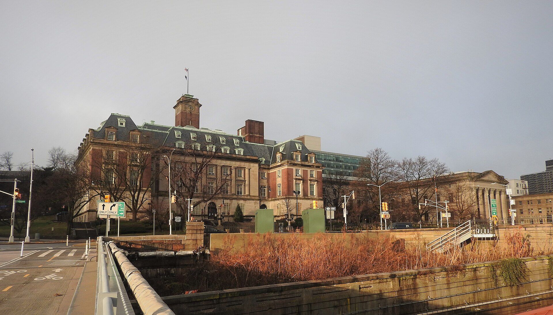
Borough Hall, the St. George Theatre and terraced streets above the harbor, built around the ferry terminal and the railway's northern end.
1-family — · St George 0.2 mi
New Brighton
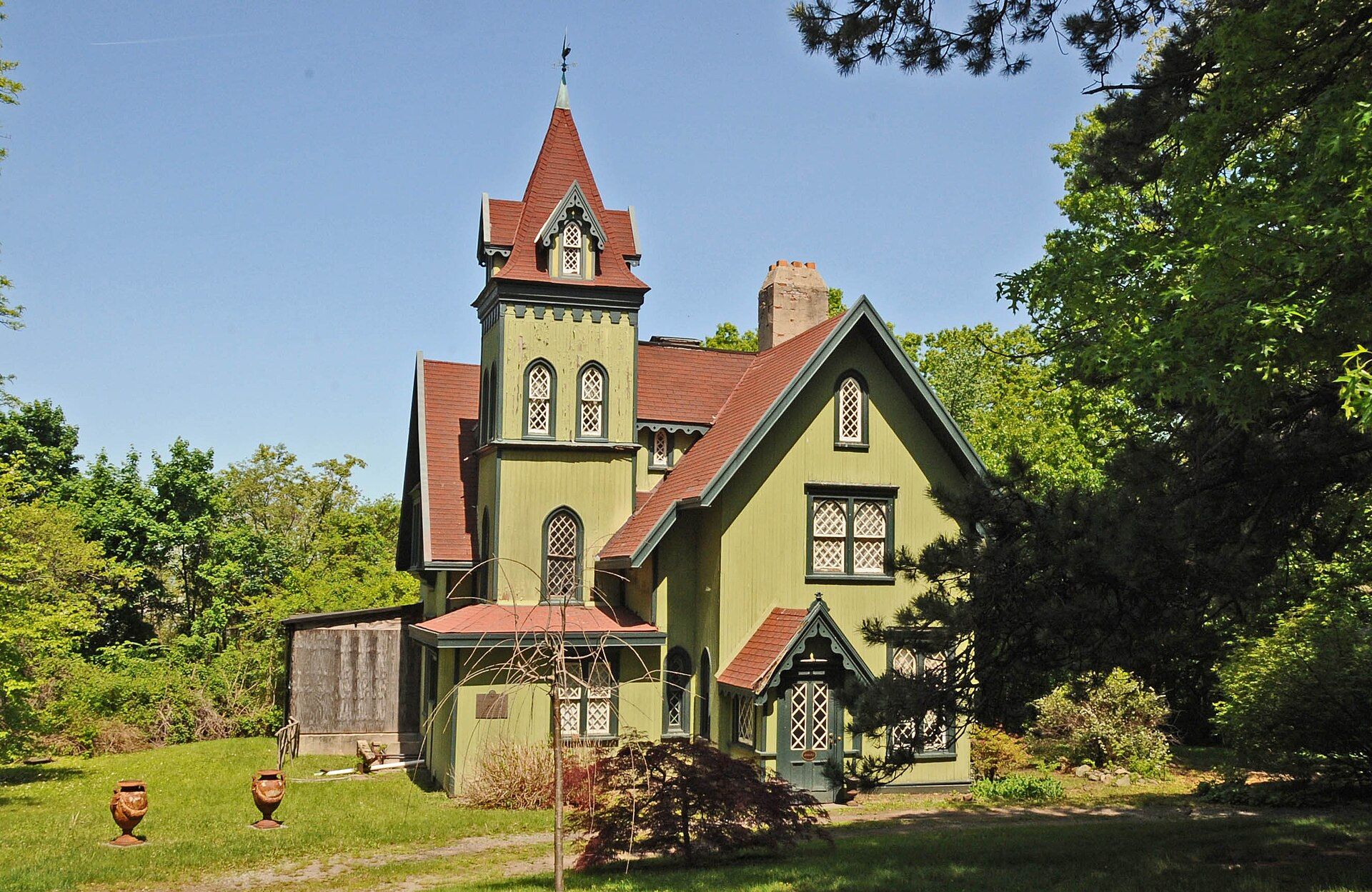
A planned 1830s waterfront village west of the ferry: Greek Revival houses on Richmond Terrace, Hamilton Park's cottages and hillside streets.
1-family $540K · Tompkinsville 0.6 mi
Tompkinsville
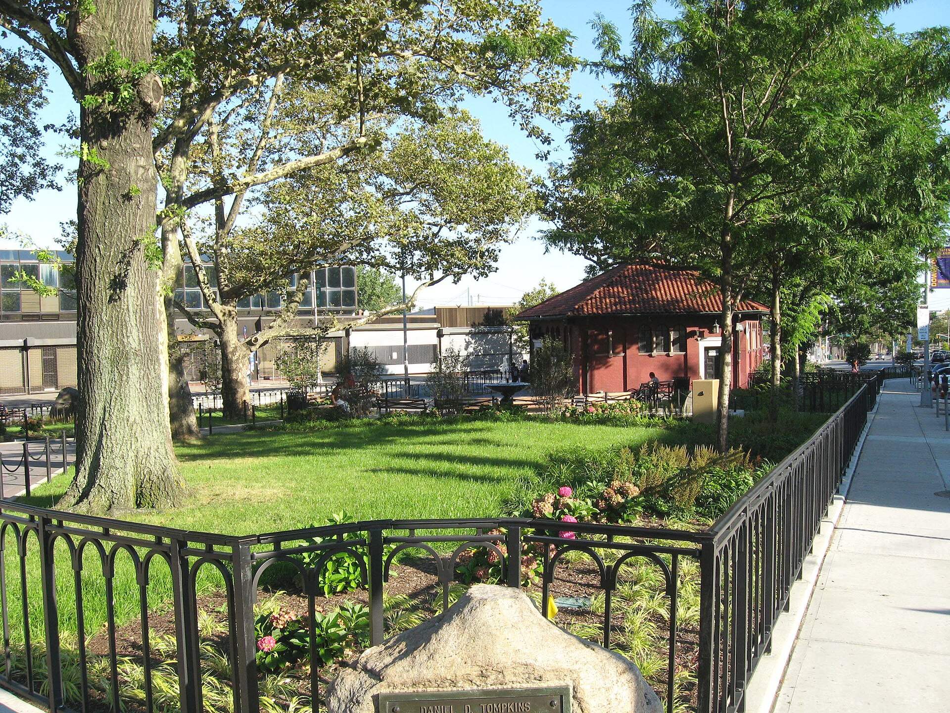
The old Watering Place on the Upper Bay: Bay Street's commercial blocks, Lyons Pool and a Staten Island Railway stop one station from the ferry.
1-family $738K · Tompkinsville 0.5 mi
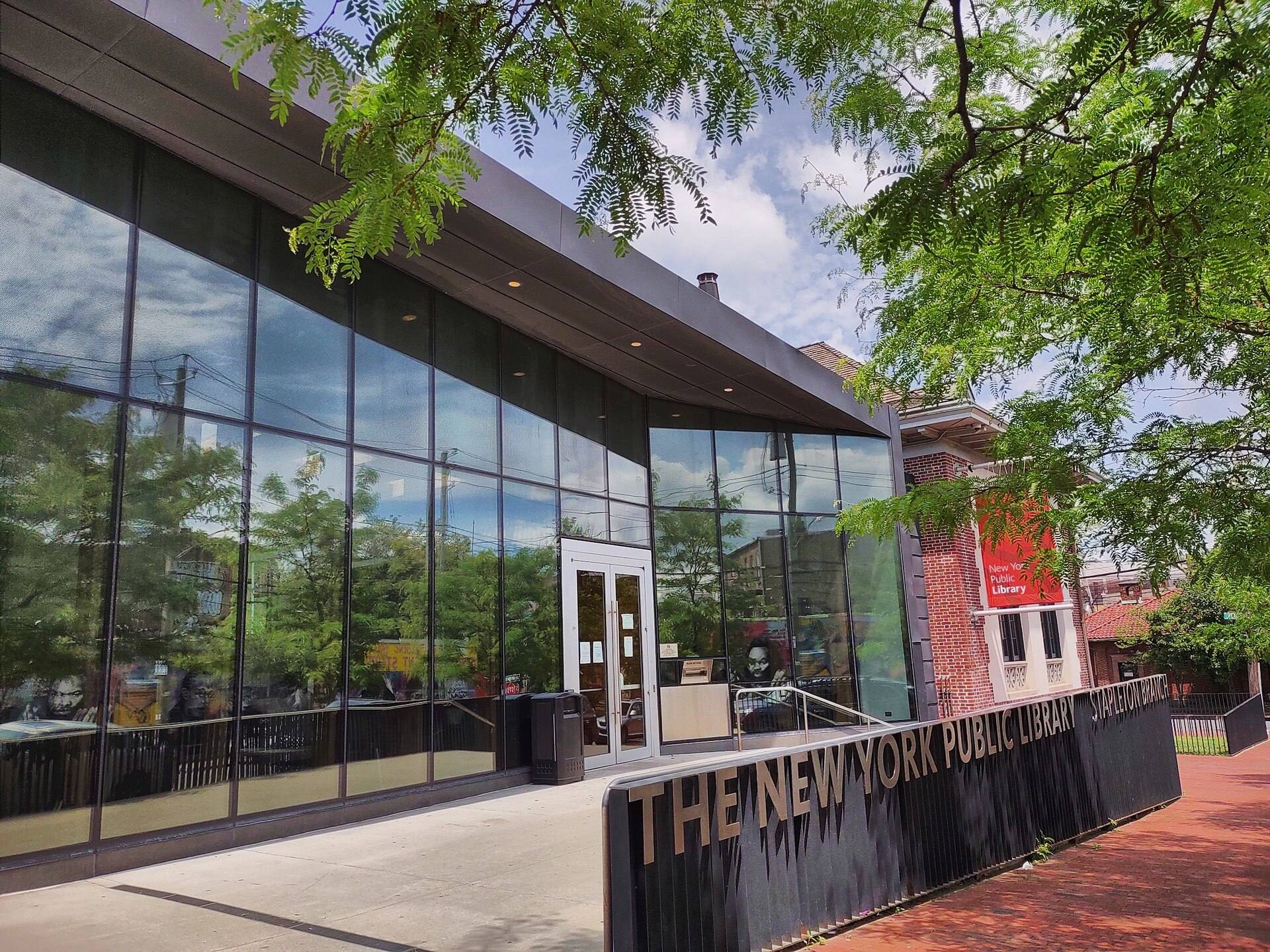
Stapleton
Tappen Park and the 1889 Edgewater Village Hall, a redeveloped Navy homeport on the Narrows and Victorian houses on Stapleton Heights.
1-family $470K · Stapleton 0.3 mi
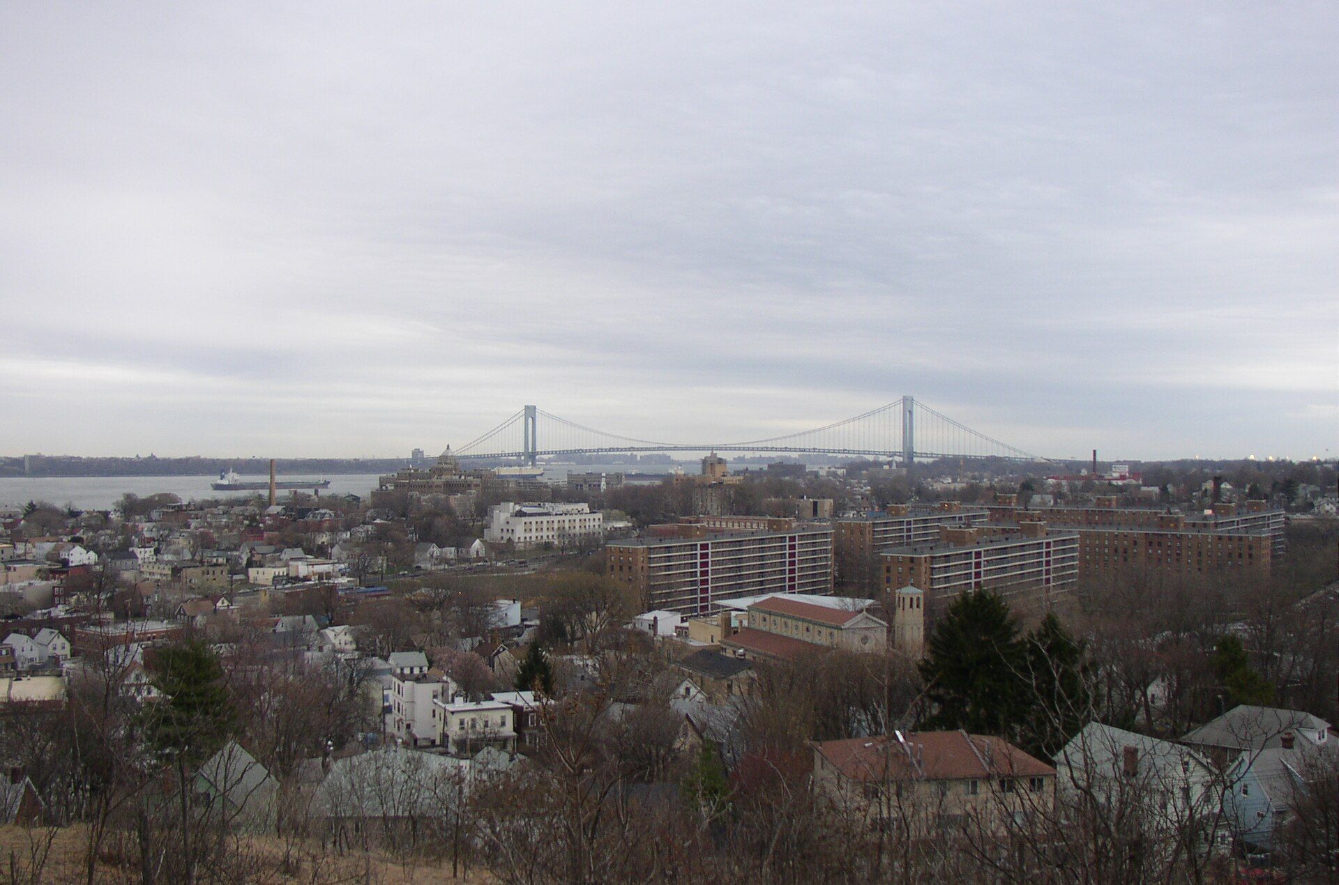
Clifton
Bay Street's southern stretch above the Narrows: Victorian houses near Vanderbilt Avenue, the old Seaman's Retreat and the Clifton railway stop.
1-family $630K · Clifton 0.3 mi
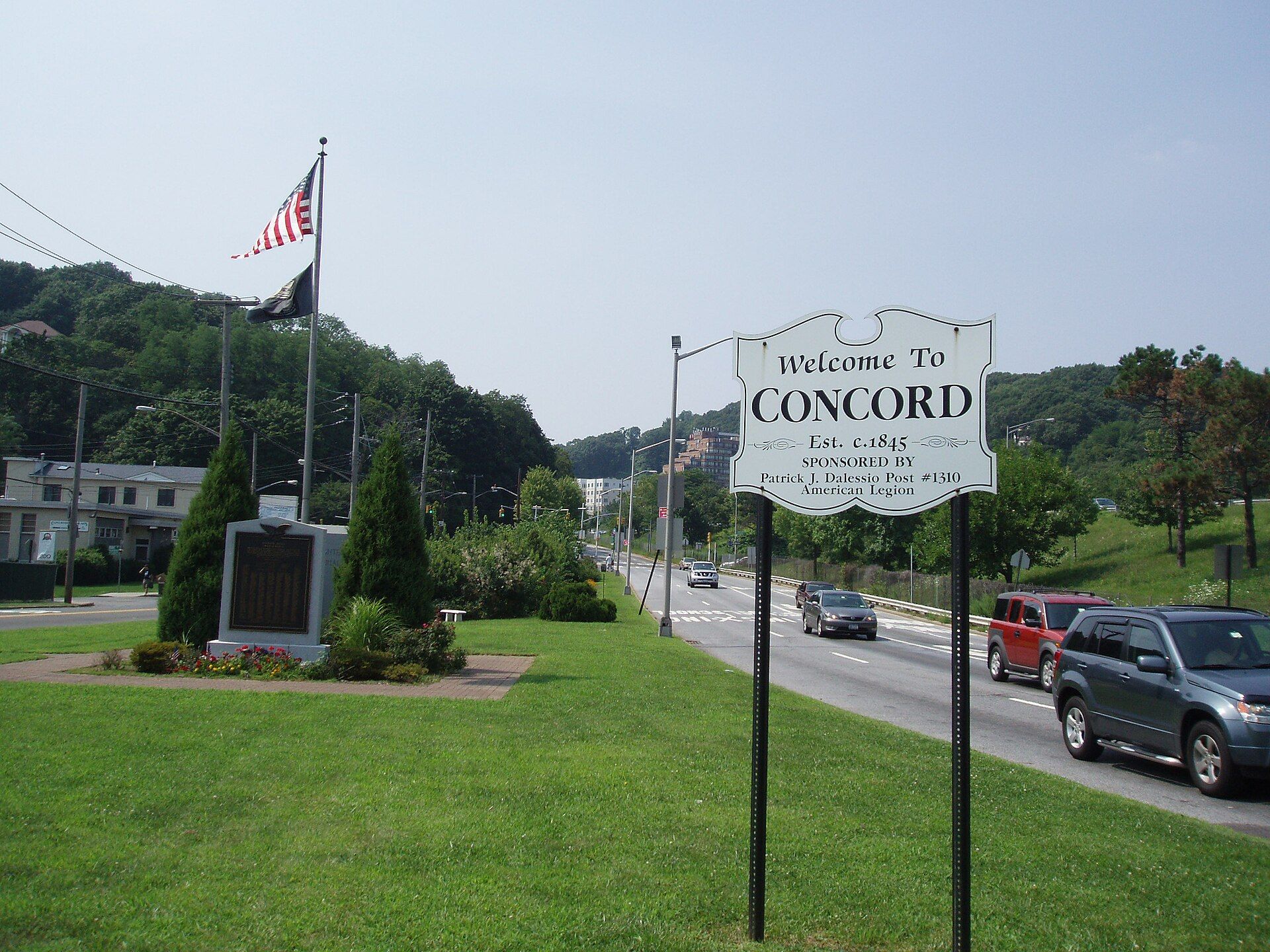
Concord
Inland streets between Clove Road and Targee Street, including Fox Hills and Eibs Pond, bisected by the Staten Island Expressway.
1-family $530K · Grasmere 0.7 mi
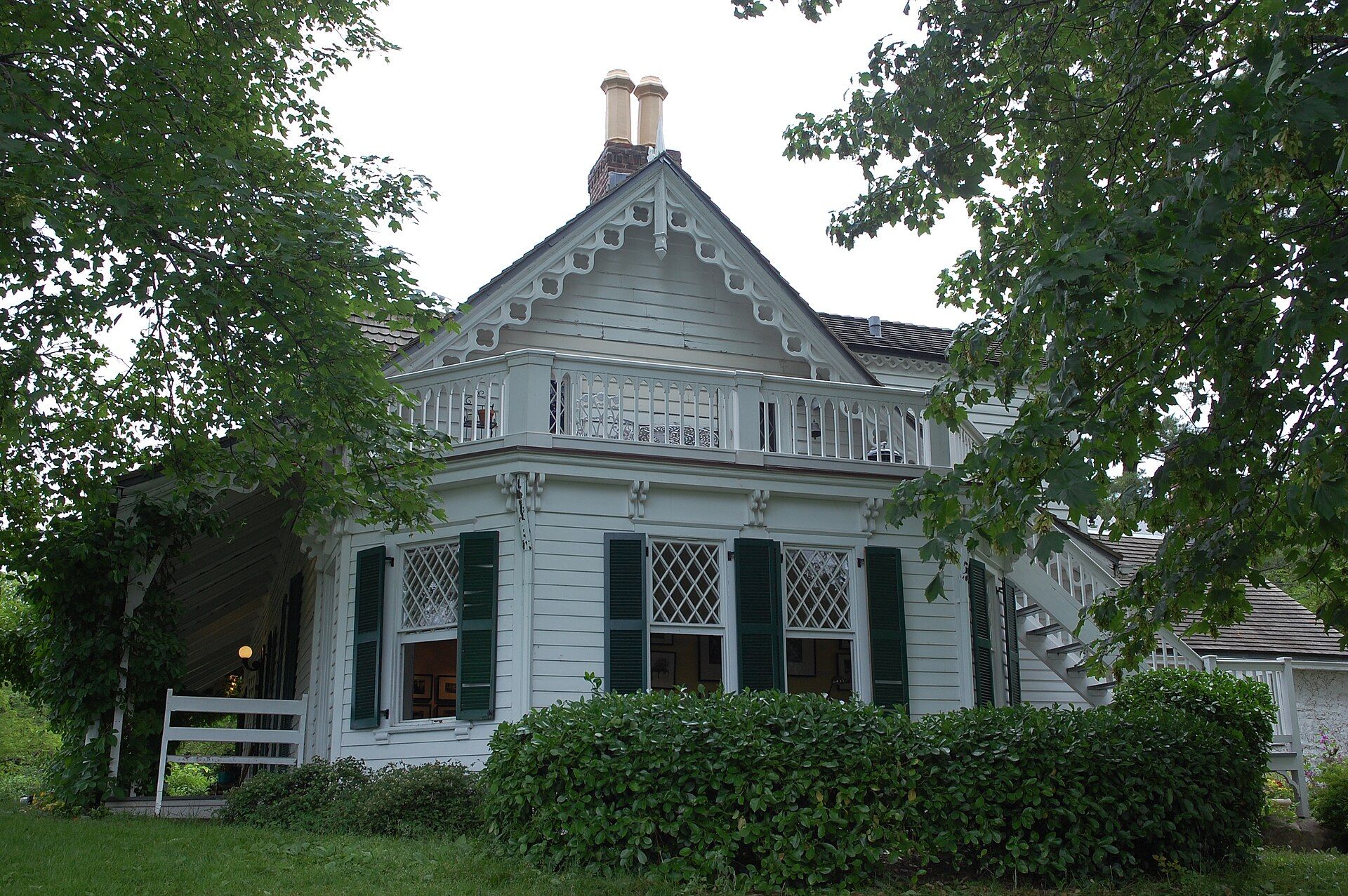
Rosebank
Narrows-side streets north of the Verrazzano: the Alice Austen House on the water, the Garibaldi-Meucci Museum and the start of Hylan Boulevard.
1-family $657K · Clifton 0.8 mi
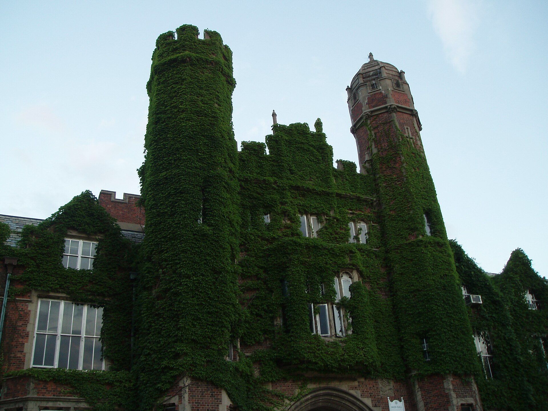
Grymes Hill
A serpentine ridge rising 374 feet above the harbor: Howard Avenue's winding route past 19th- and early-20th-century estates and hillside trails.
1-family $1.14M
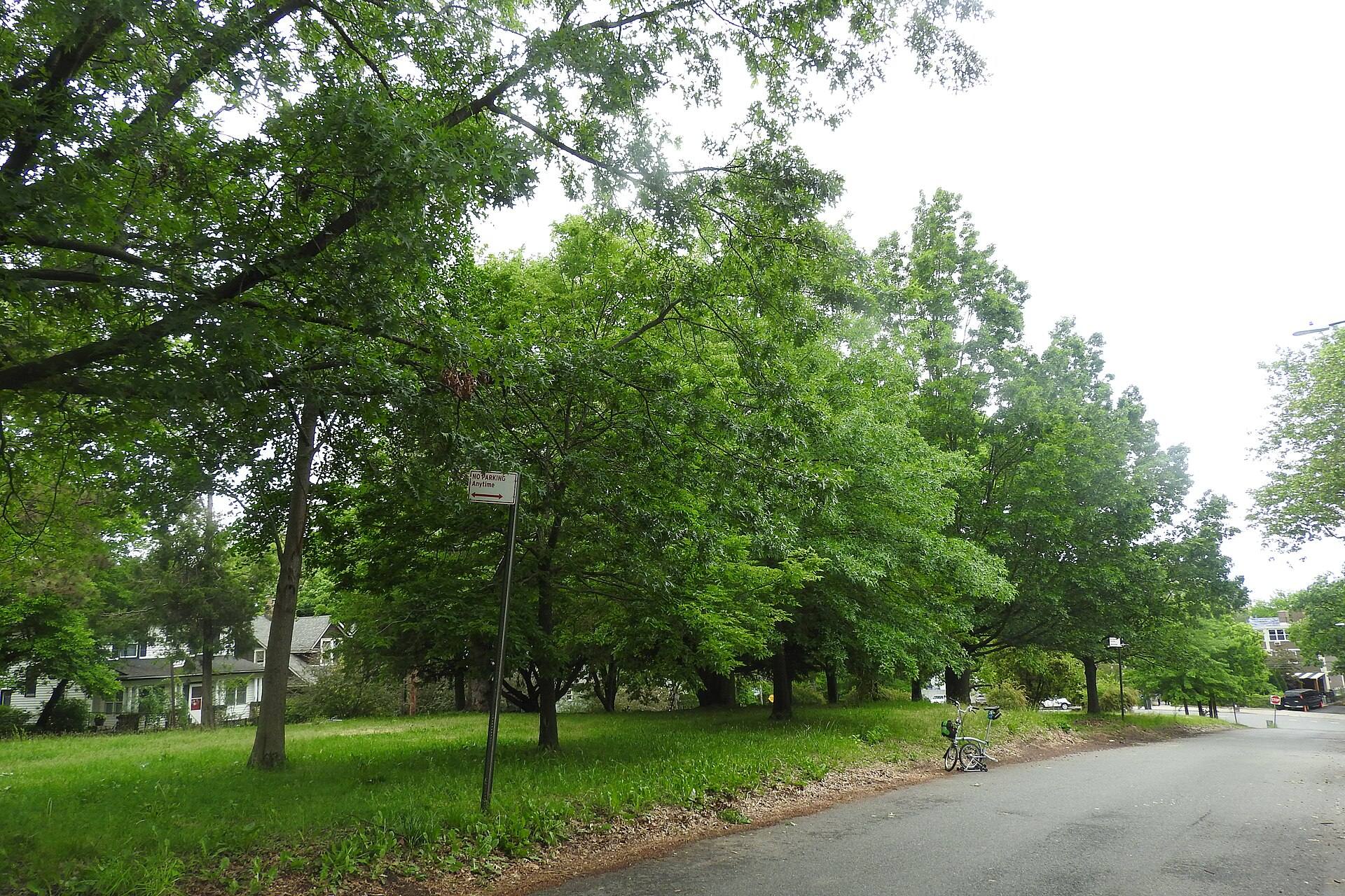
Silver Lake
Built around Silver Lake Park: a former reservoir, an 18-hole public golf course and Victory Boulevard's run between the hills.
1-family $756K
- Sunnyside
Sunnyside
The old Clove Valley between the North Shore hills: Clove Road and Victory Boulevard, with Clove Lakes Park to the north.
1-family $825K
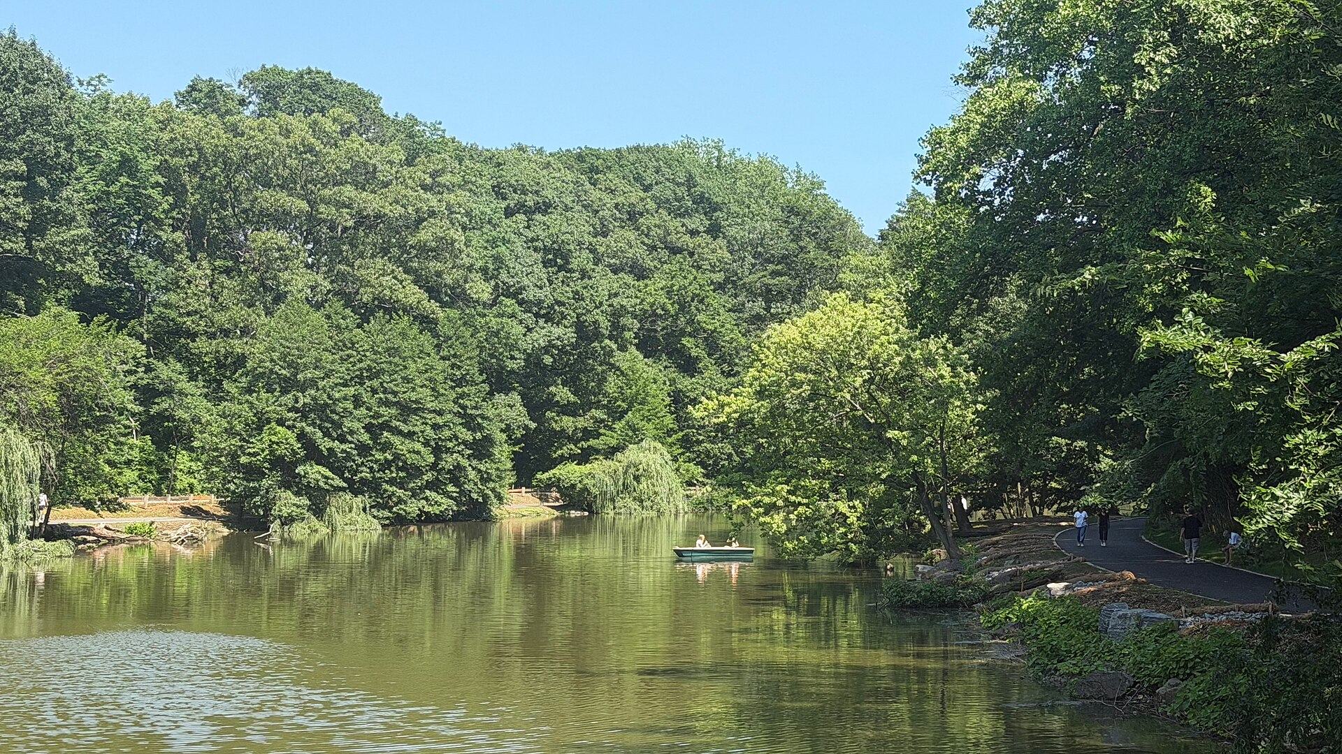
Clove Lakes
Streets around Clove Lakes Park's three lakes and serpentine woods, between Victory Boulevard, Clove Road and Forest Avenue.
1-family $855K
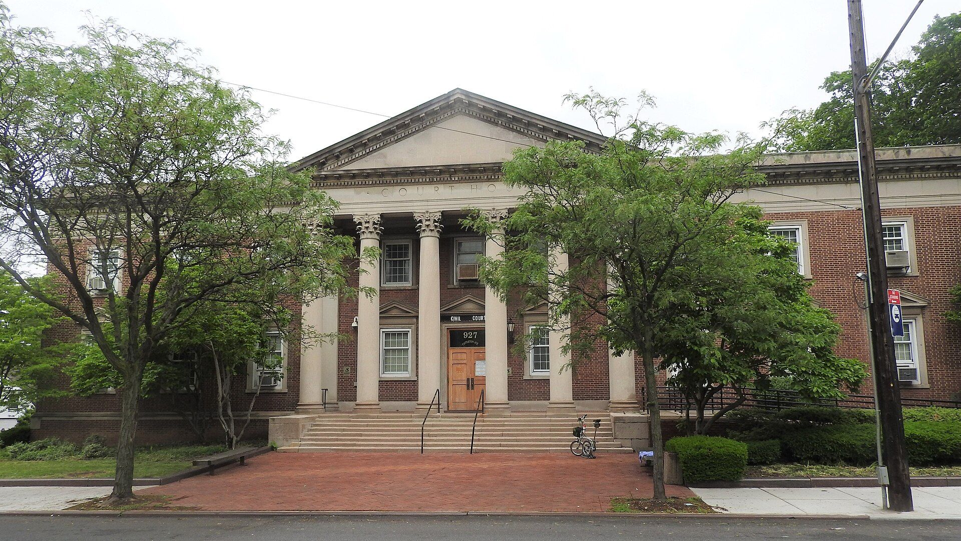
West New Brighton
Forest and Castleton Avenues' long commercial runs, the Staten Island Zoo, and a working waterfront of shipyards and tugboats on the Kill Van Kull.
1-family $655K
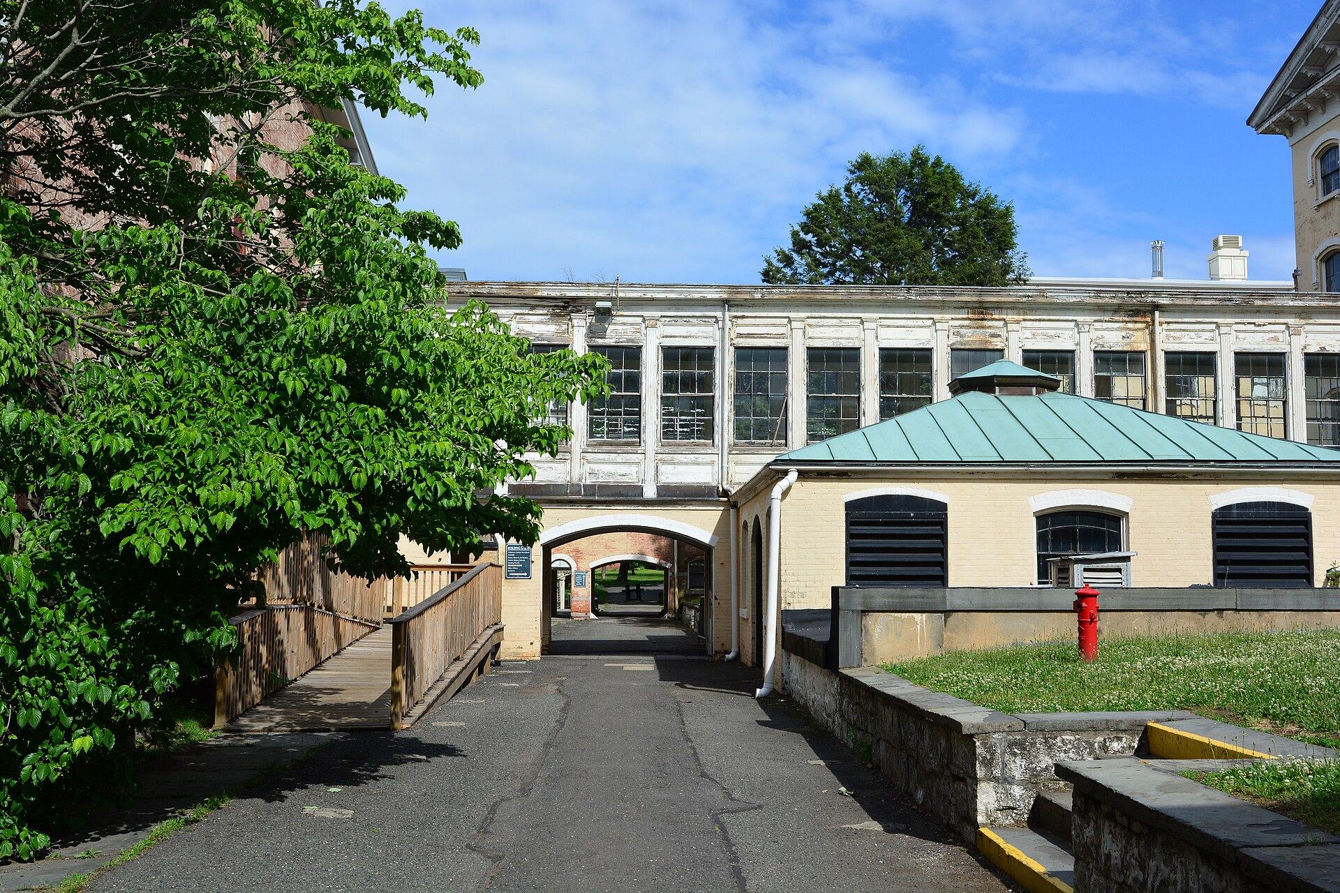
Livingston
Tree-shaded streets around Sailors' Snug Harbor and Walker Park, with large 19th-century houses between Richmond Terrace and Henderson Avenue.
1-family $715K
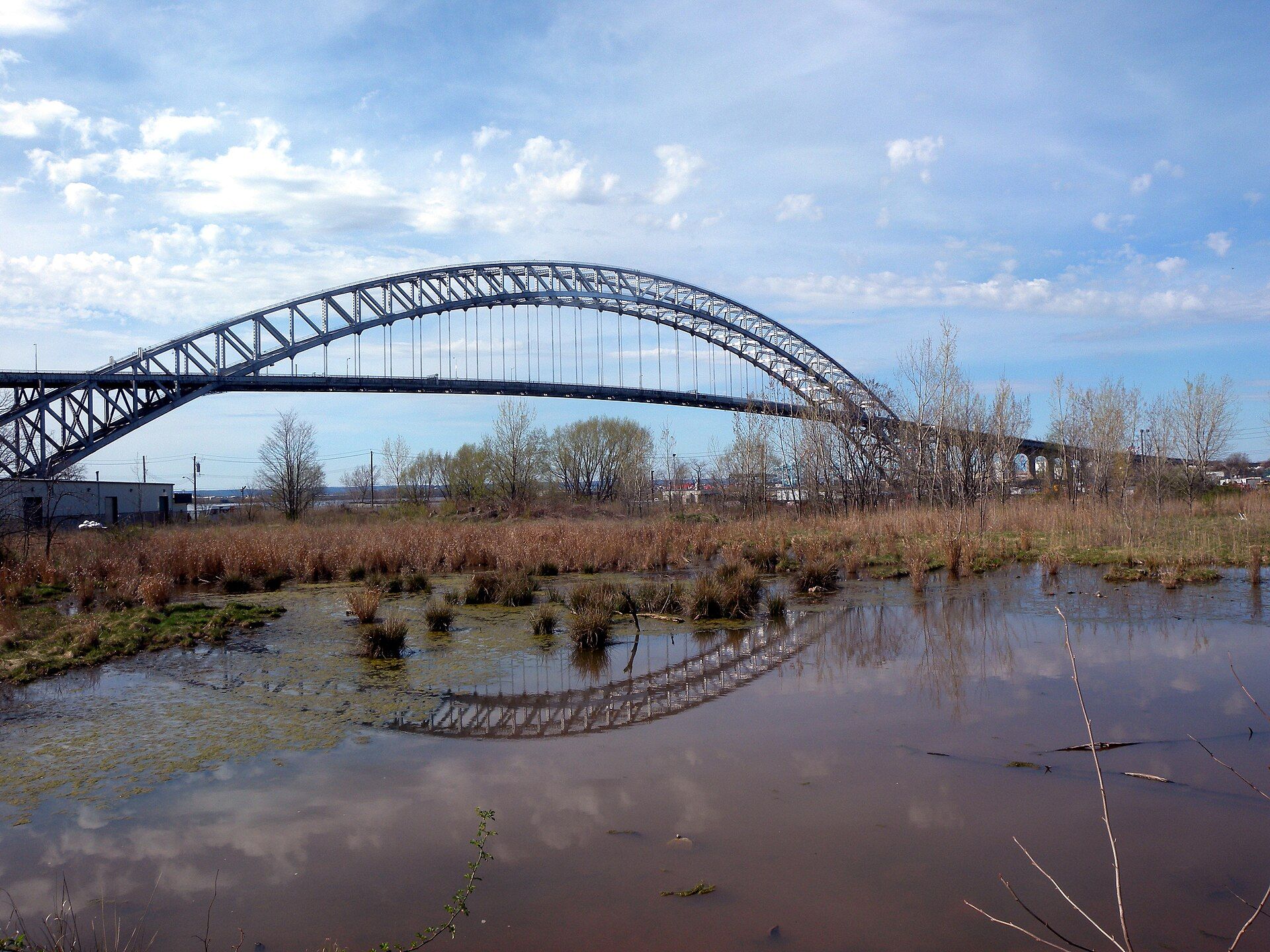
Port Richmond
A historic ferry landing on the Kill Van Kull: Port Richmond Avenue's commercial blocks, Heberton Avenue's old houses and the Bayonne Bridge.
1-family $580K
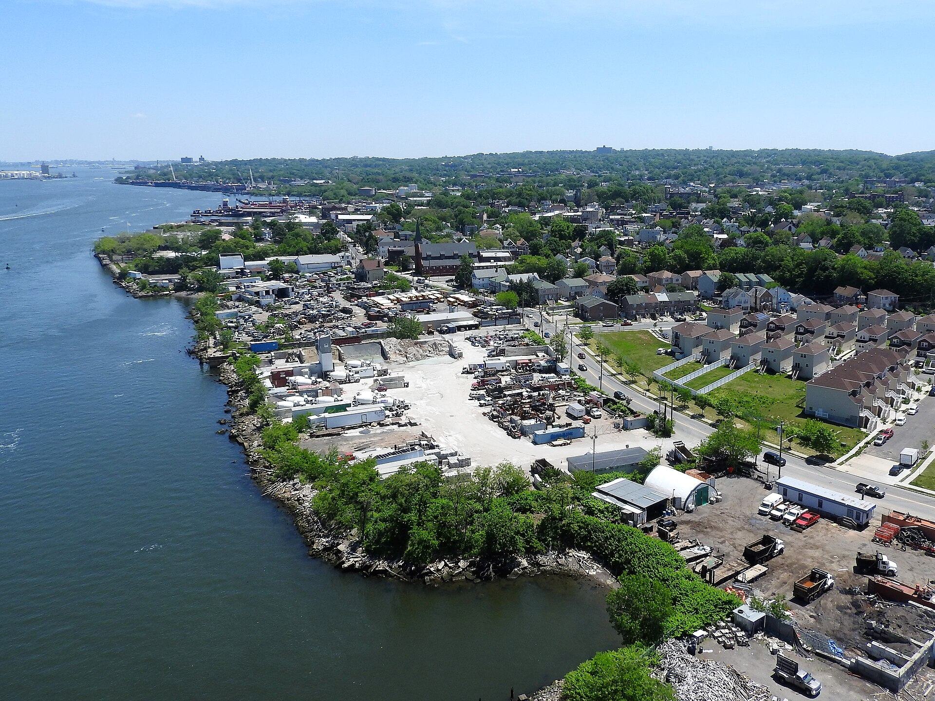
Mariners Harbor
The island's northwest corner on the Kill Van Kull: oyster-era houses on Richmond Terrace, marshes, an old quarry park and the Goethals Bridge.
1-family $585K
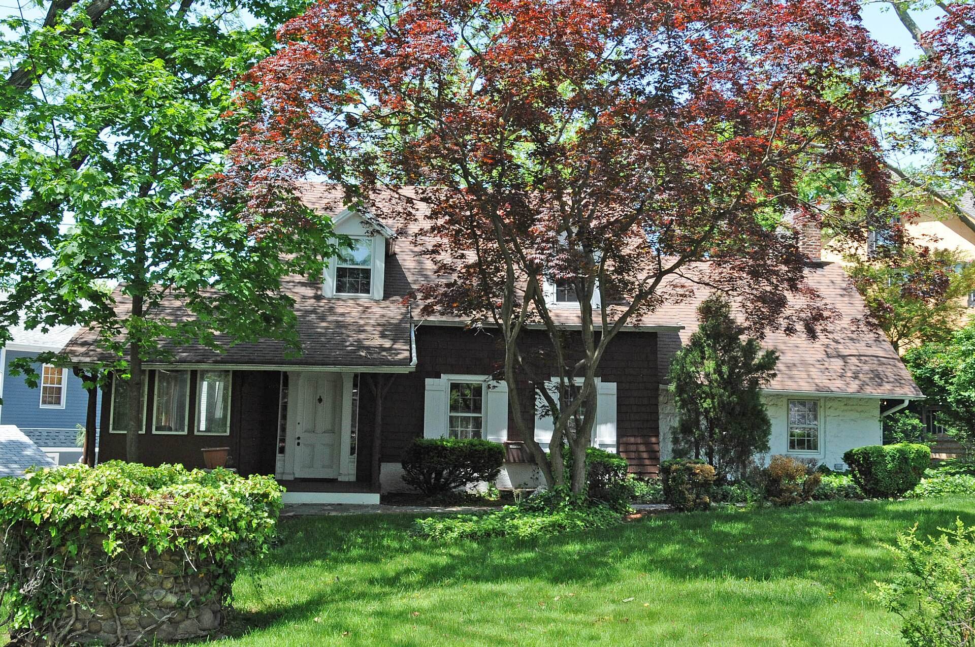
Westerleigh
A planned 1880s temperance park turned residential grid: Westerleigh Park at its center, streets named for states, and Victory Boulevard to the south.
1-family $710K
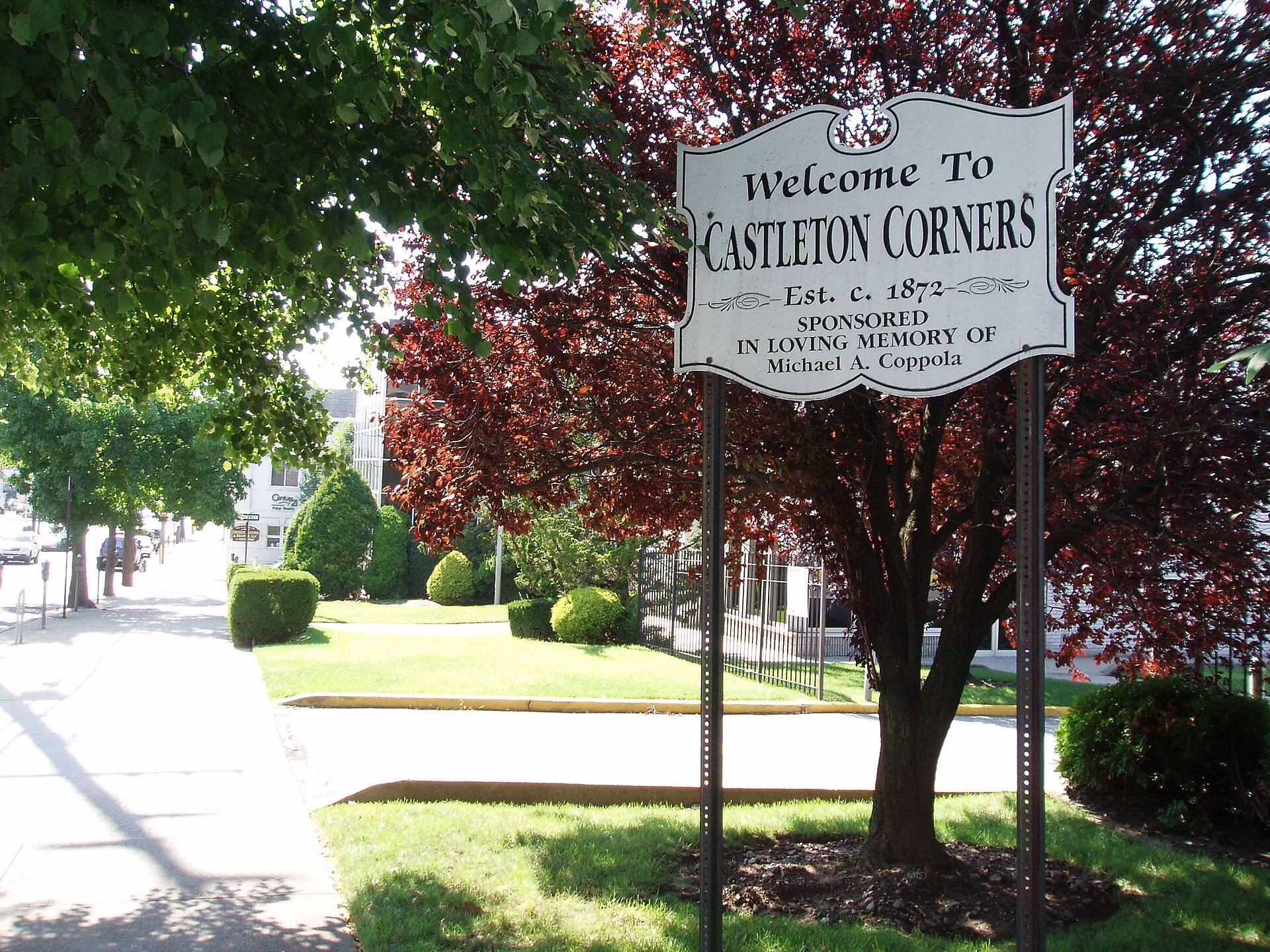
Castleton Corners
The crossroads of Victory Boulevard and Manor Road: a mid-island shopping district with the borough's main post office and Clove Lakes nearby.
1-family $742K
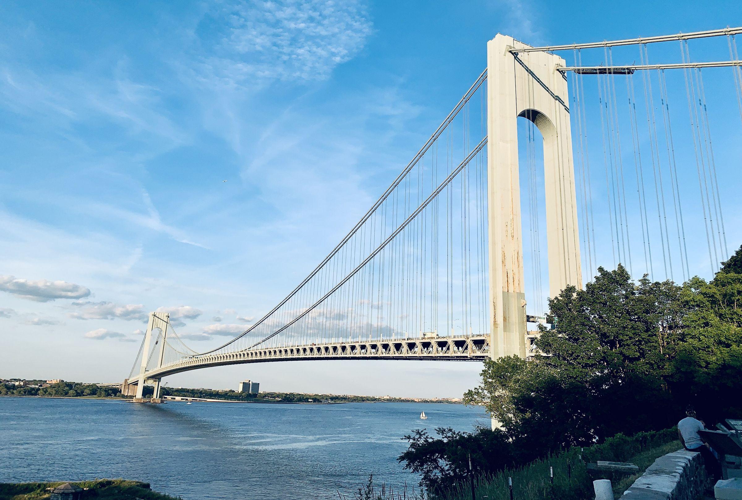
Arrochar
Streets between the Verrazzano and the boardwalk, with Fort Wadsworth, Von Briesen Park and Shore Acres' tree-shaded houses above the Narrows.
1-family $688K · Clifton 0.9 mi
Region
Mid-Island
From the beaches of South Beach and Midland Beach to the wooded ridge of Todt Hill and the shopping and highway hub around Richmond Avenue. The Staten Island Greenbelt and Freshkills Park hold some of the city's largest stretches of open land.
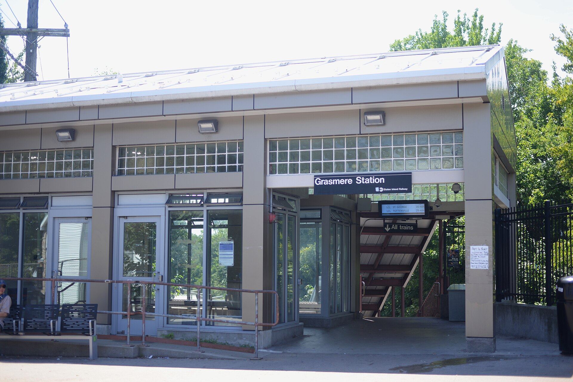
Grasmere
A rail-stop neighborhood just south of the Verrazzano approaches, named for an English lake village and set around the 15-acre Brady's Pond.
1-family $840K · Grasmere 0.1 mi
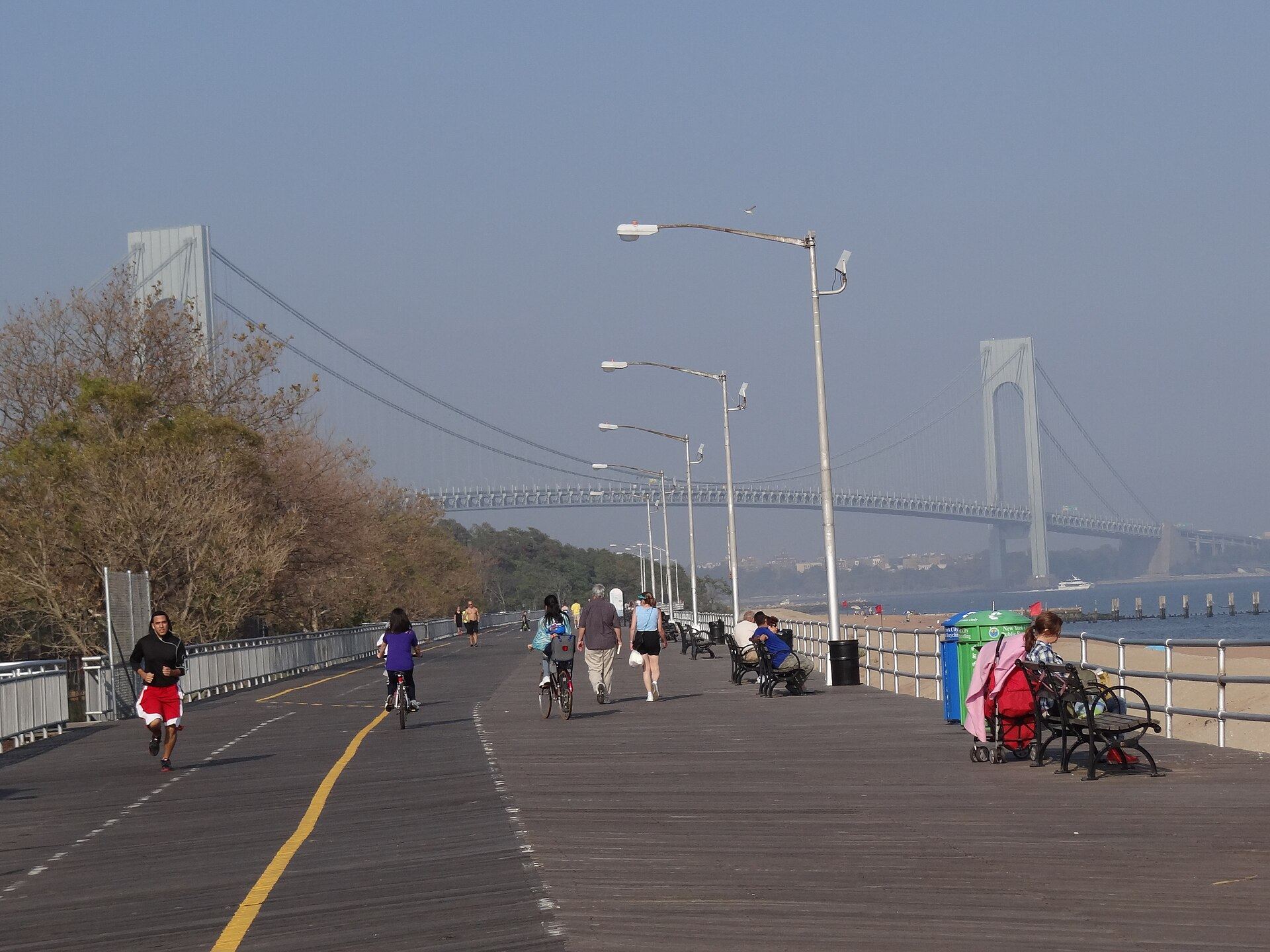
South Beach
A former seaside resort on Lower New York Bay, with the 1937 FDR Boardwalk, Ocean Breeze Park and an indoor track built to international standards.
1-family $680K · Old Town 0.7 mi
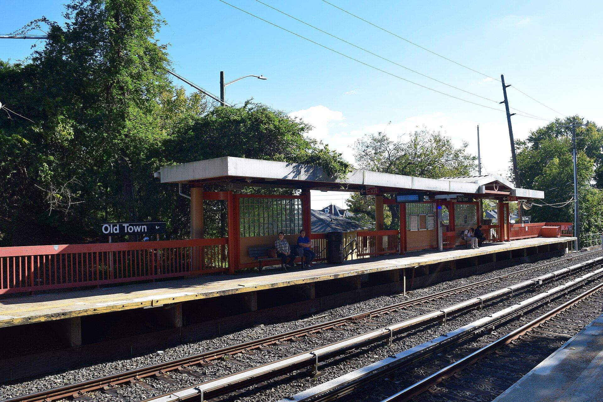
Old Town
Site of Staten Island's first permanent European settlement in 1661, now a compact grid around Old Town Road and its railway station.
1-family — · Old Town 0.2 mi
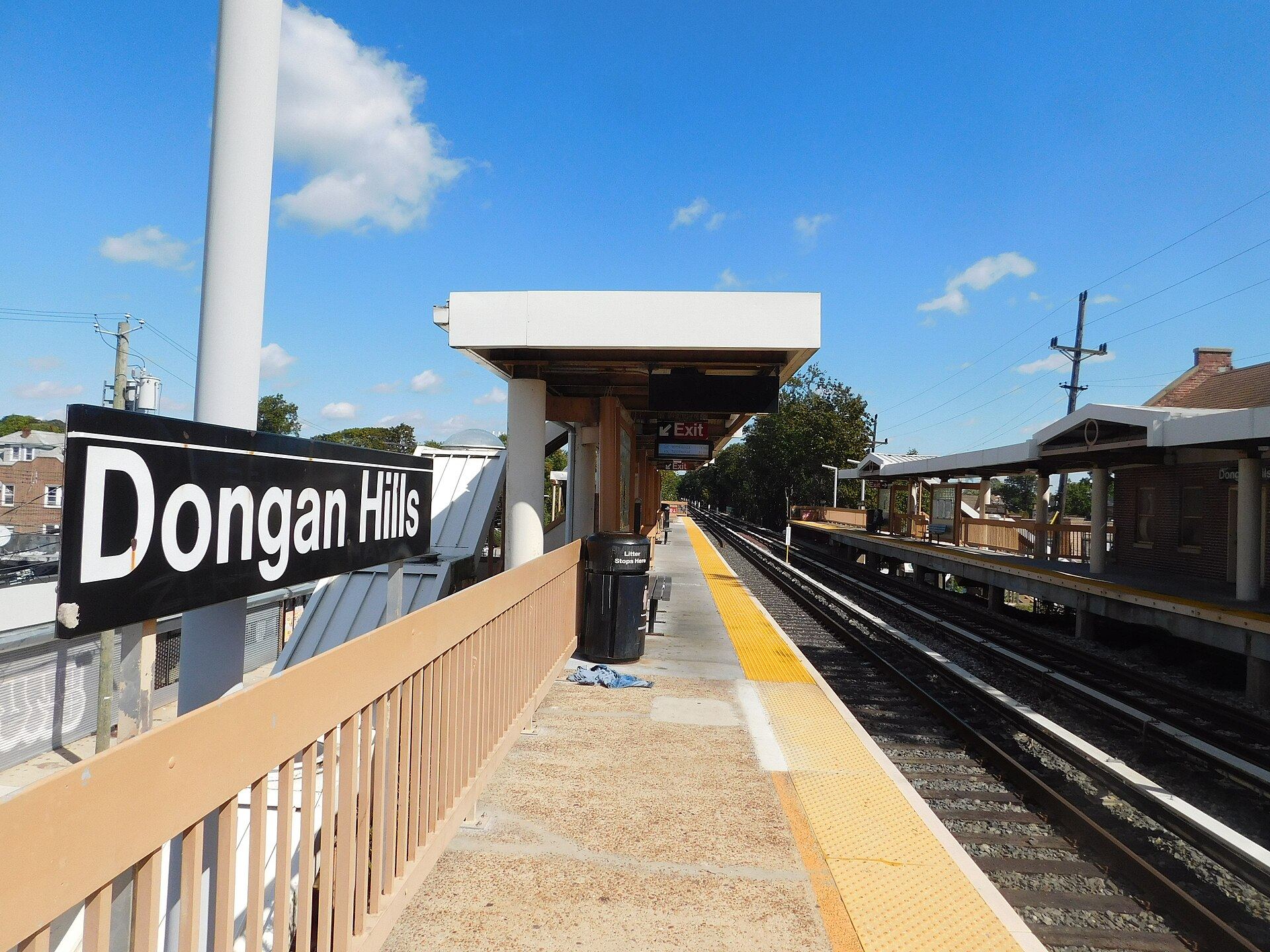
Dongan Hills
Two railway stations, the island's oldest standing house on Richmond Road, and streets that climb from Hylan Boulevard toward Todt Hill.
1-family $880K · Old Town 0.4 mi
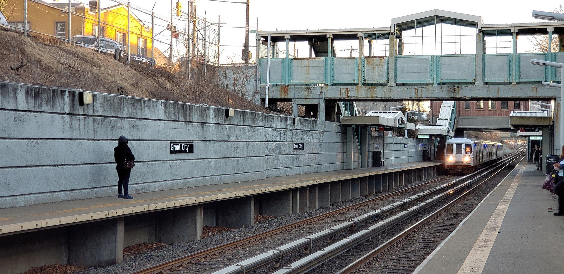
Grant City
Renamed for Ulysses S. Grant, with avenues named for Lincoln, Greeley and their contemporaries and its own Staten Island Railway stop.
1-family $735K · Jefferson Av 0.1 mi
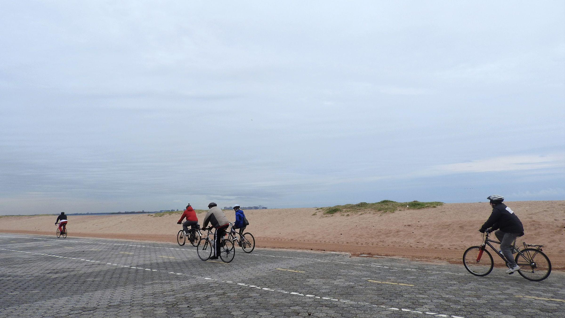
Midland Beach
A former bungalow resort on Lower New York Bay, with the FDR Boardwalk, the 835-foot Ocean Breeze Fishing Pier and Miller Field next door.
1-family $634K · Jefferson Av 0.8 mi
- New Dorp
New Dorp
New Dorp Lane's shops and railway station, a 1938 theater, and New Dorp Heights rising toward Moravian Cemetery and the Greenbelt.
1-family $795K · New Dorp 0.2 mi
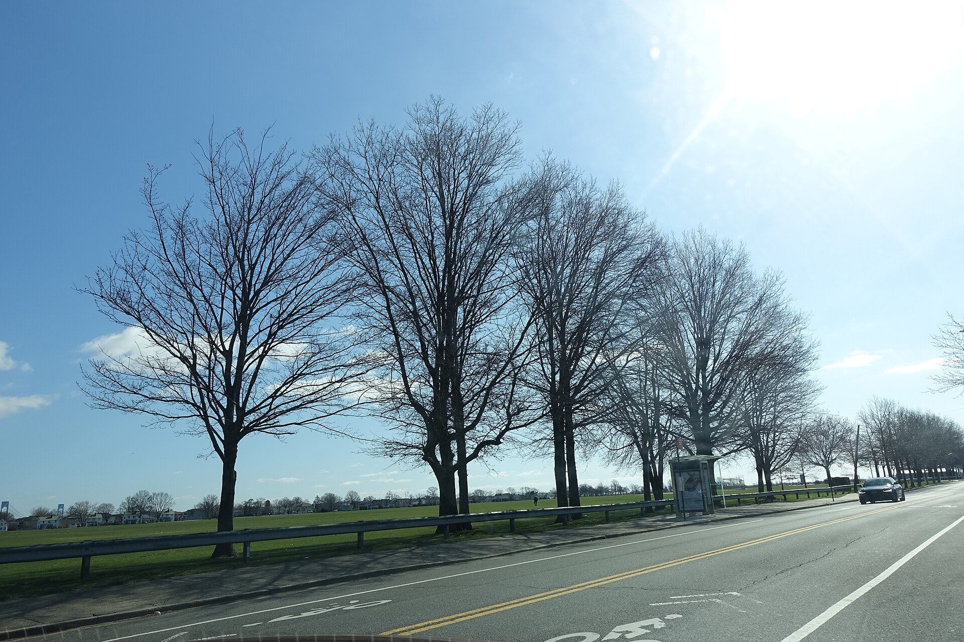
New Dorp Beach
Beach streets east of Hylan Boulevard, between Miller Field's historic airfield and Cedar Grove Beach, with The Boulevard shopping center on Hylan.
1-family $608K
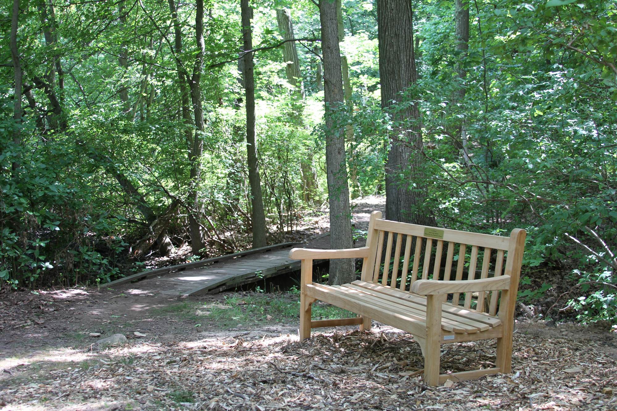
Todt Hill
The highest natural point in New York City: wooded ridge roads, Greenbelt trails and Ernest Flagg's landmark stone houses along Todt Hill Road.
1-family $1.77M · Dongan Hills 0.8 mi
- Emerson Hill
Emerson Hill
A wooded hill above the Staten Island Expressway, where Henry David Thoreau worked as a tutor in 1843.
1-family — · Grasmere 0.9 mi
- Manor Heights
Manor Heights
Hillside streets of one-family houses south of the Staten Island Expressway, along Manor Road and above the Sea View Hospital landmark district.
1-family $850K
- Lighthouse Hill
Lighthouse Hill
A wooded hilltop with a working 1912 range light, New York City's only Frank Lloyd Wright house and a museum of Tibetan art in terraced gardens.
1-family $1.05M
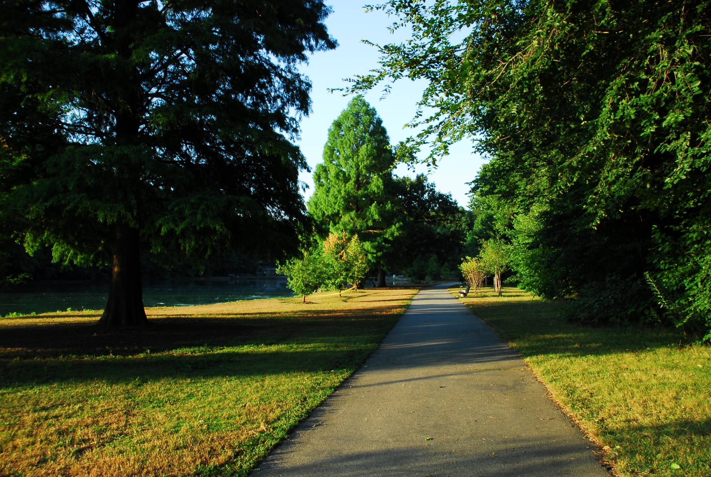
Willowbrook
The College of Staten Island's campus, Willowbrook Park's lake and carousel, and the landmark Sea View Hospital grounds at the Greenbelt's edge.
1-family $782K
- Bulls Head
Bulls Head
A crossroads at Victory Boulevard and Richmond Avenue, named for an 18th-century tavern, between Willowbrook Park and the Staten Island Mall.
1-family $690K
- New Springville
New Springville
Staten Island's commercial center since the 1973 mall: Richmond Avenue's shopping, a major bus hub and Freshkills Park on the western edge.
1-family $733K
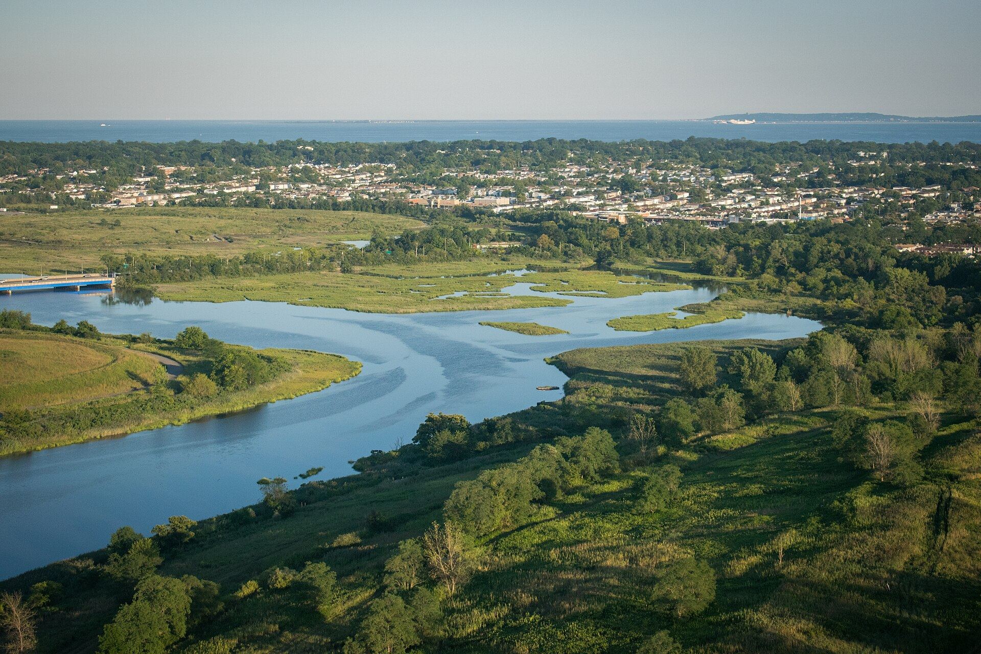
Travis
The far western end of Victory Boulevard on the Arthur Kill, once called Linoleumville, beside the Davis Wildlife Refuge and Freshkills Park.
1-family $690K
Region
South Shore
Largely developed after the Verrazzano-Narrows Bridge opened in 1964, with detached and semi-detached houses, townhouses and big parks along Raritan Bay. Historic Richmond Town, Great Kills Harbor and the Conference House at the island's southern tip are here, and the railway runs all the way to Tottenville.
- Richmondtown
Richmondtown
The island's old county seat: Historic Richmond Town's restored village, Latourette Park's woods and golf course, at the foot of the Greenbelt hills.
1-family $925K · Oakwood Heights 0.6 mi
- Oakwood
Oakwood
Residential streets between Richmond Road and Lower New York Bay, with the Oakwood Heights station and a shoreline returned to open space after Sandy.
1-family $740K · Oakwood Heights 0.4 mi
- Bay Terrace
Bay Terrace
A small grid between Richmondtown and Great Kills Harbor, built up from the late 1950s, with its own railway station and Great Kills Park nearby.
1-family $705K · Bay Terrace 0.0 mi
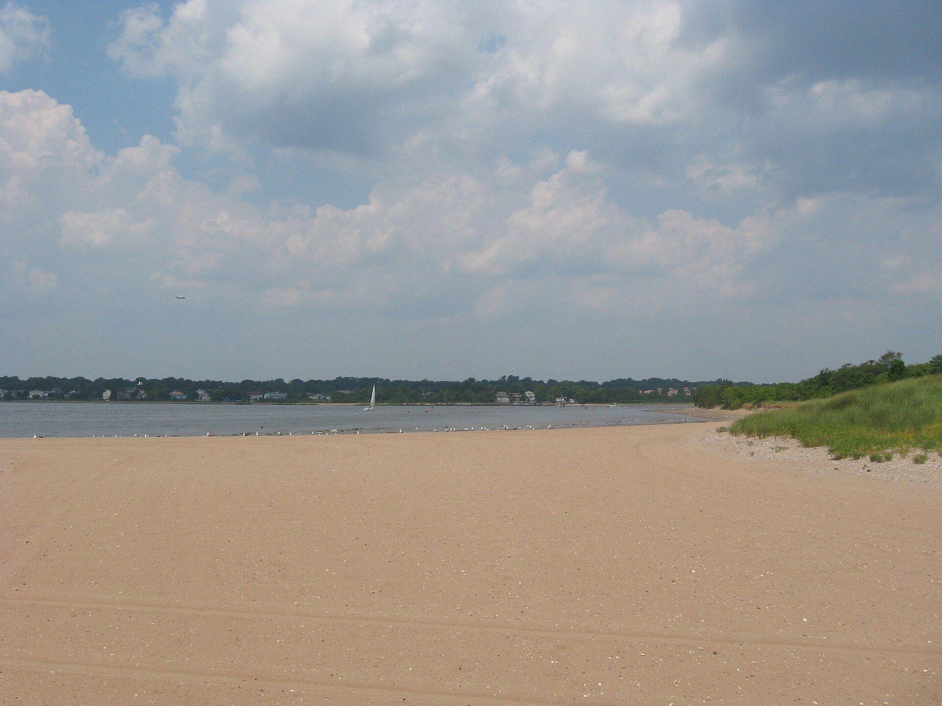
Great Kills
Built around a sheltered harbor of marinas, with Great Kills Park's beach and Crooke's Point on the bay and a railway station on Giffords Lane.
1-family $730K · Great Kills 0.1 mi
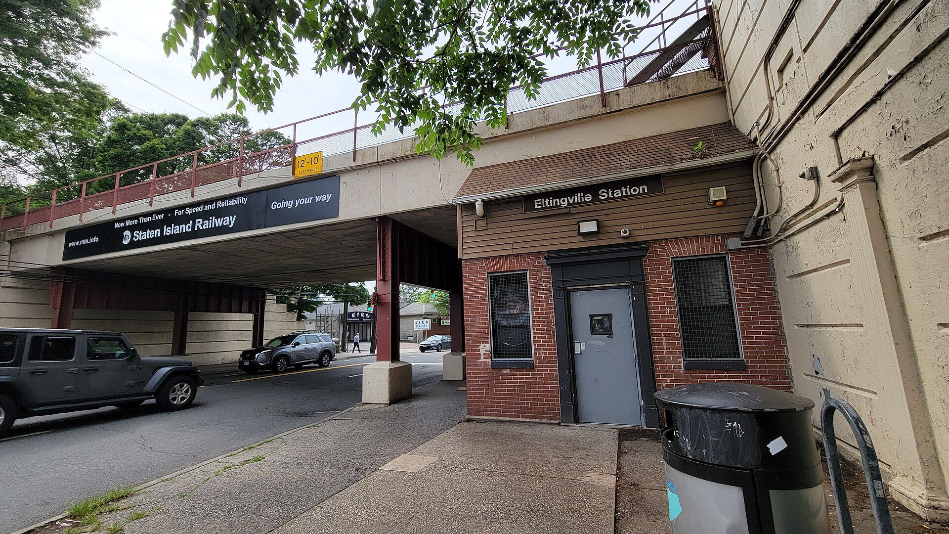
Eltingville
A South Shore crossroads around the Eltingville station and transit center, with Richmond Avenue's shops and streets of postwar and newer houses.
1-family $755K · Eltingville 0.6 mi
- Arden Heights
Arden Heights
Planned townhouse loops and newer subdivisions around Arden Heights Woods, between the Korean War Veterans Parkway and Arthur Kill Road.
1-family $555K
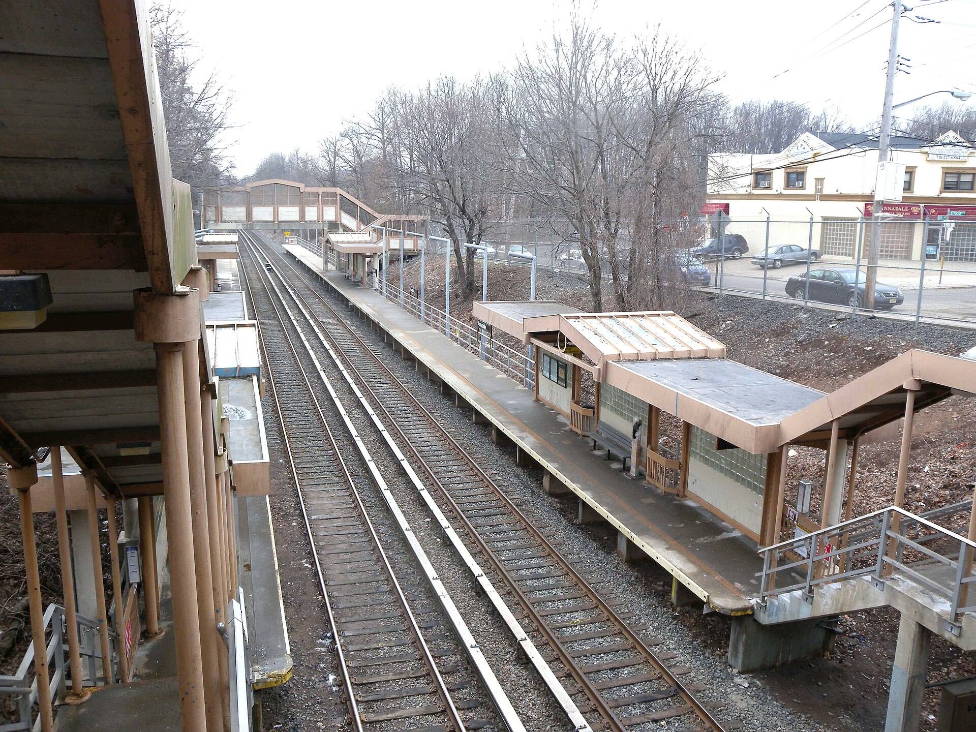
Annadale
Wooded South Shore streets around the 222-acre Blue Heron Park Preserve, with a railway station on Annadale Road and the parkway nearby.
1-family $963K · Annadale 0.1 mi
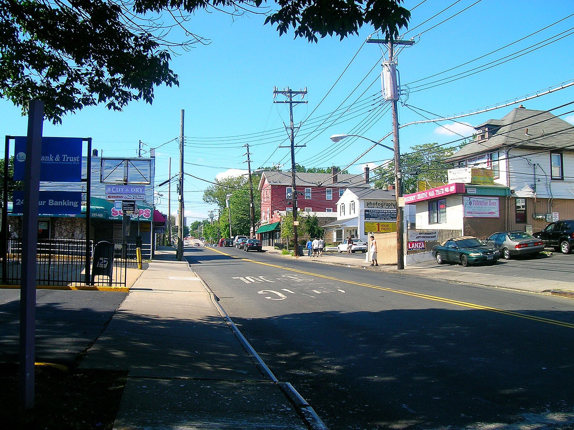
Huguenot
South Shore streets around Huguenot Avenue and a railway stop dating to 1860, with Wolfe's Pond Park's beach and woods at the edge.
1-family $850K · Huguenot 0.4 mi
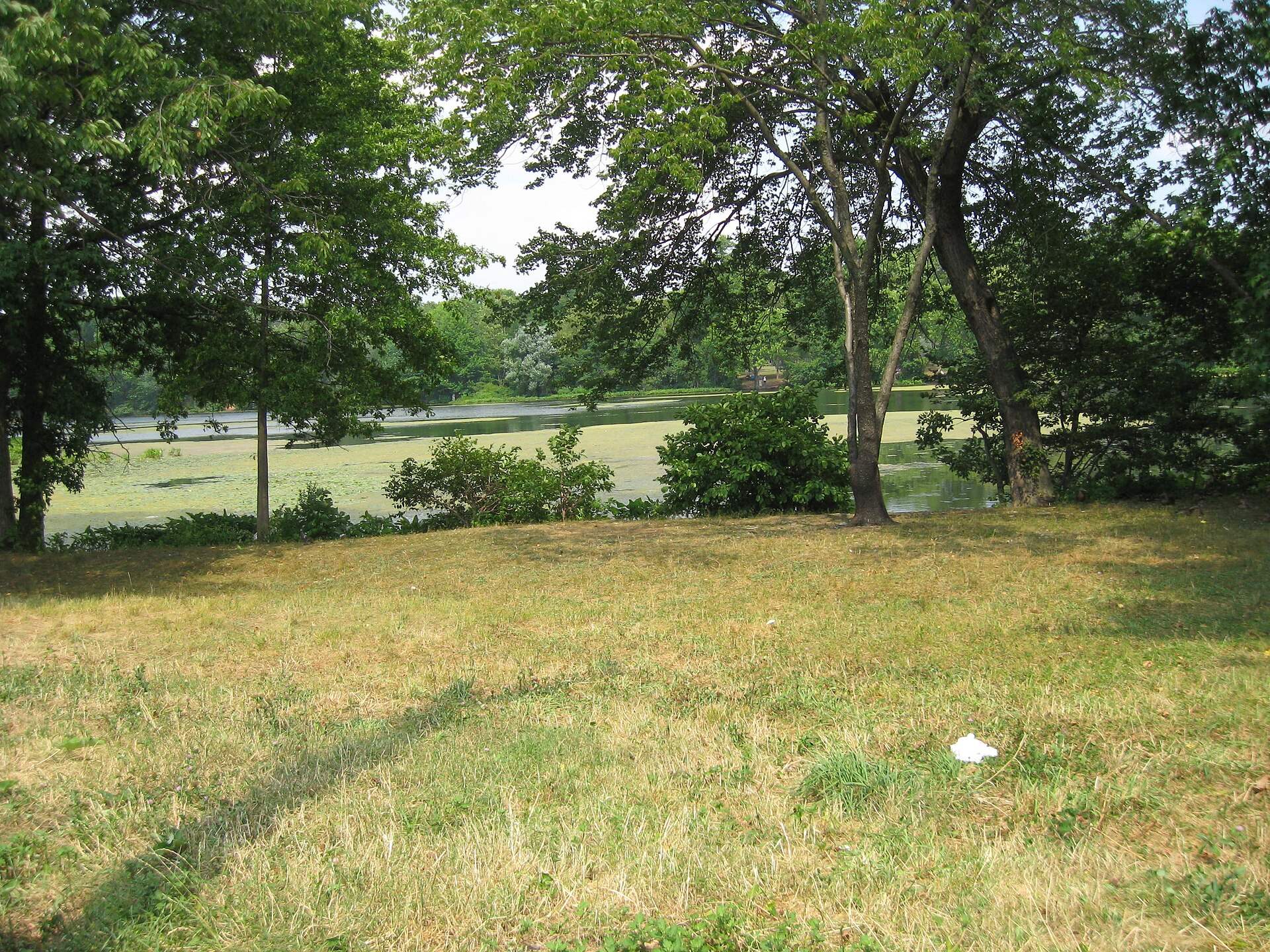
Prince's Bay
An old oystering village on Raritan Bay: the 1838 Seguine Mansion, Lemon Creek and Wolfe's Pond parks, and a station beneath Seguine Avenue.
1-family $890K · Prince's Bay 0.2 mi
- Woodrow
Woodrow
Inland South Shore streets along Woodrow Road between Huguenot and Rossville, near the Sandy Ground historic sites and two highways.
1-family $727K
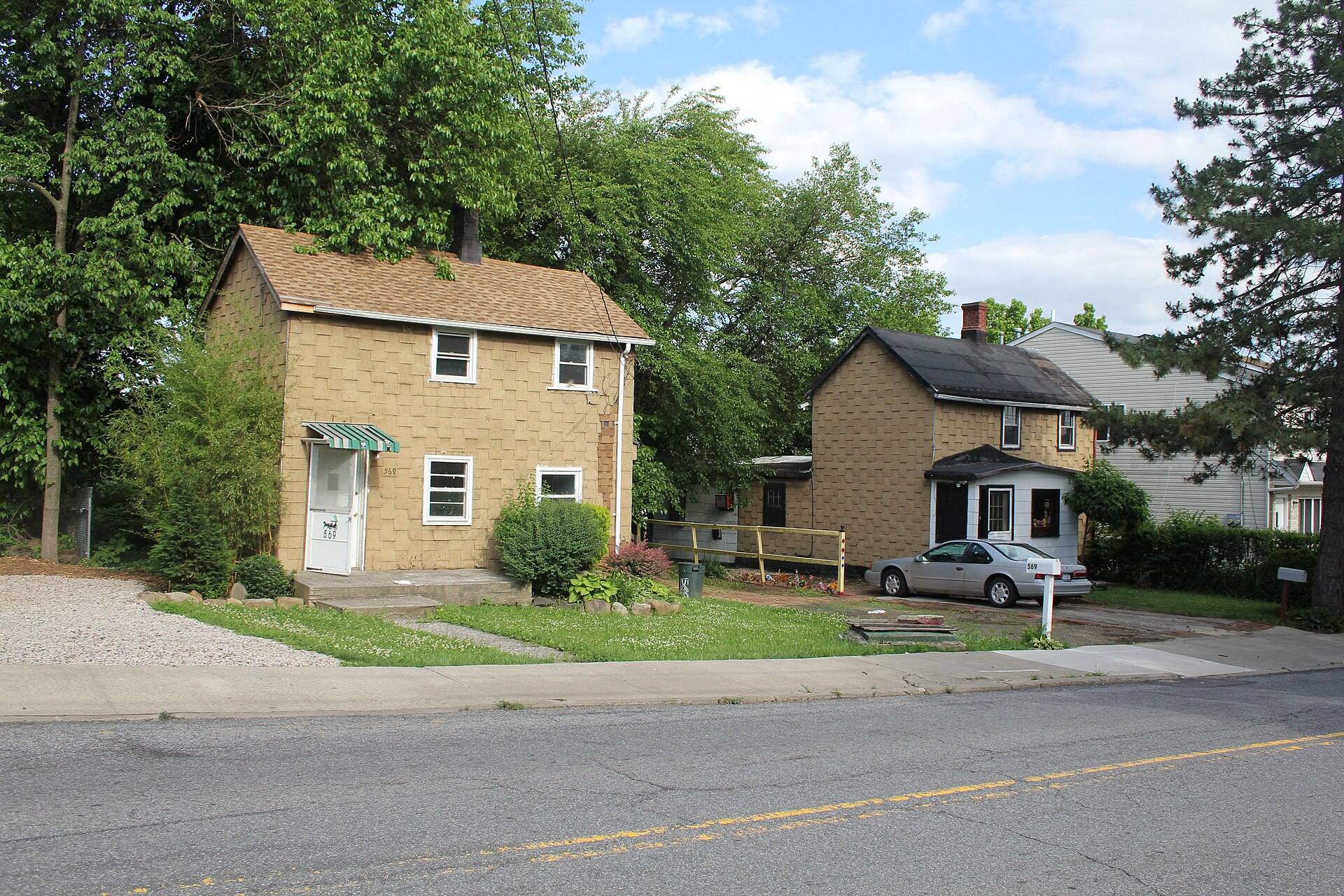
Rossville
Where Arthur Kill Road meets the water: the boat graveyard, Sandy Ground's landmark buildings, and condo developments from the 1980s.
1-family $643K
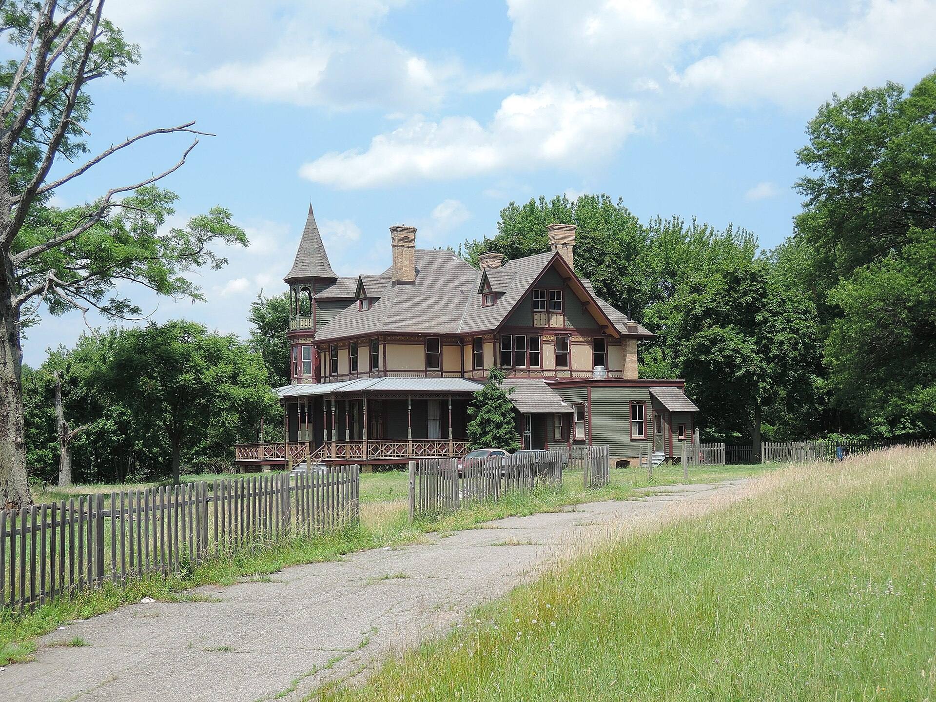
Charleston
Brick-making history on the Arthur Kill: the Kreischer House, landmark workers' houses, Clay Pit Ponds State Park Preserve and Bricktown's stores.
1-family $820K · Richmond Valley 0.9 mi
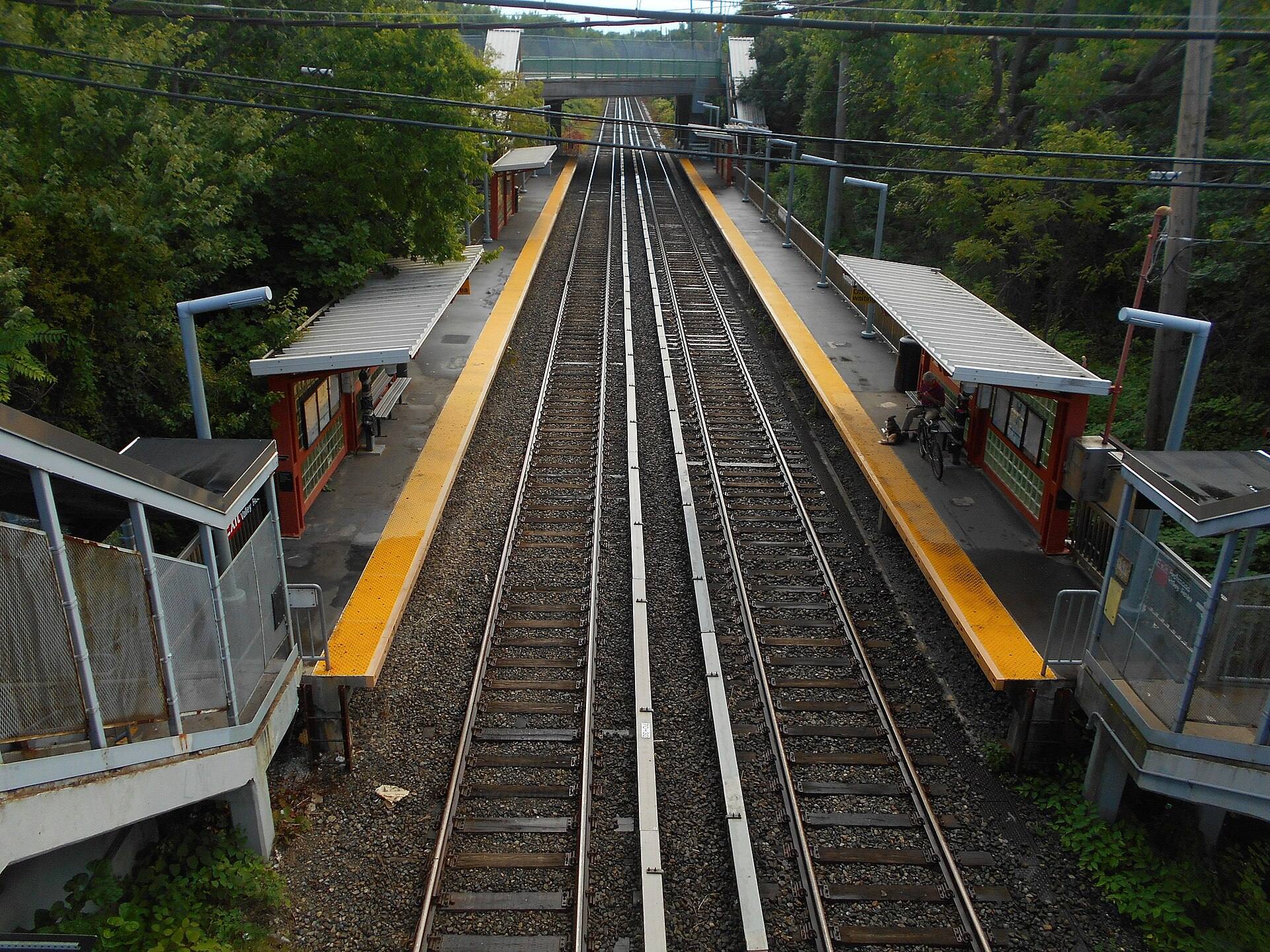
Richmond Valley
A small neighborhood at the Staten Island end of the Outerbridge Crossing, between Pleasant Plains and Tottenville, with its own railway stop.
1-family — · Richmond Valley 0.2 mi
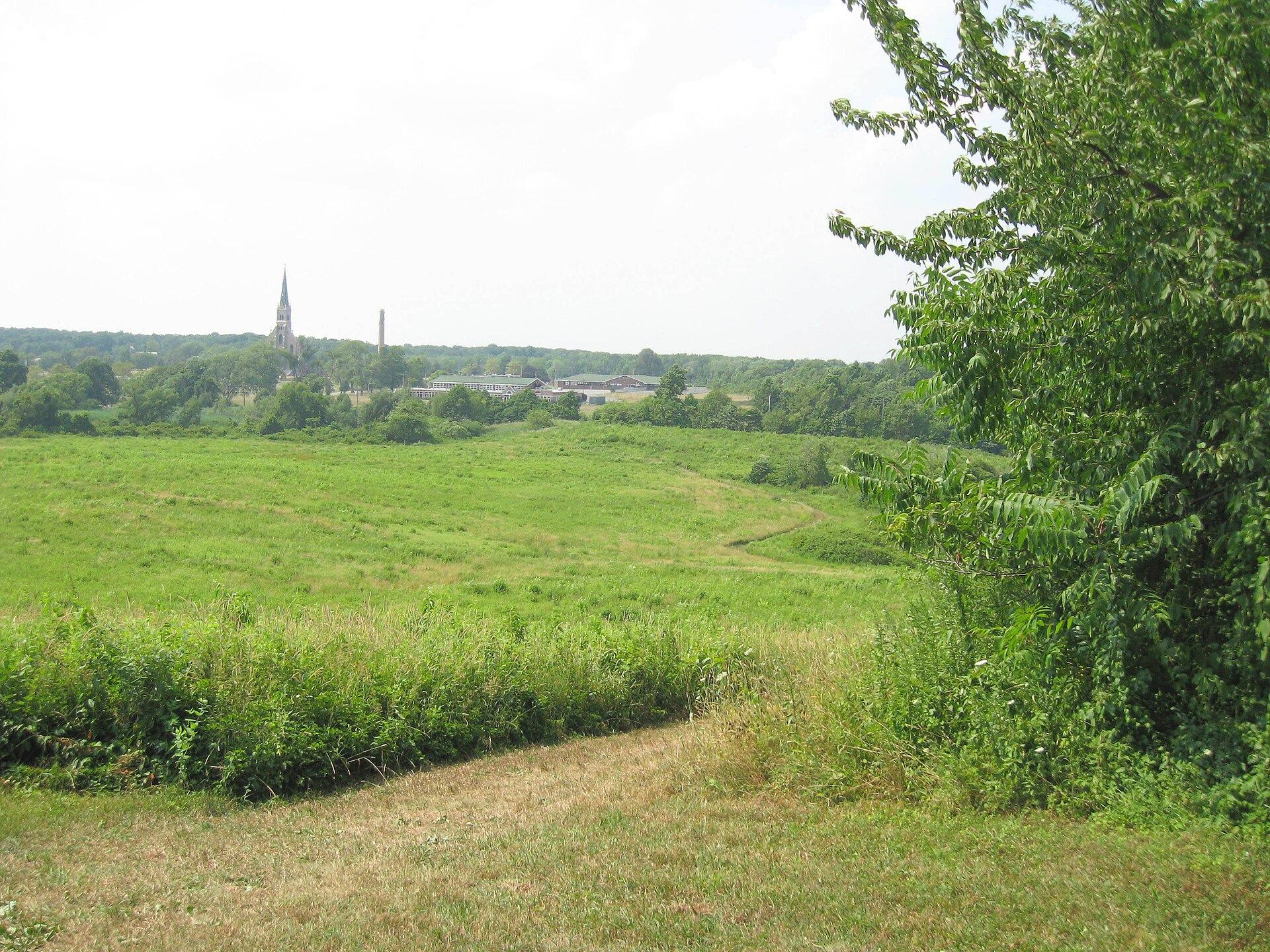
Pleasant Plains
Mount Loretto's bluffs and the 1864 Prince's Bay Light on Raritan Bay, with a small commercial center at Amboy and Bloomingdale Roads.
1-family $770K · Pleasant Plains 0.1 mi
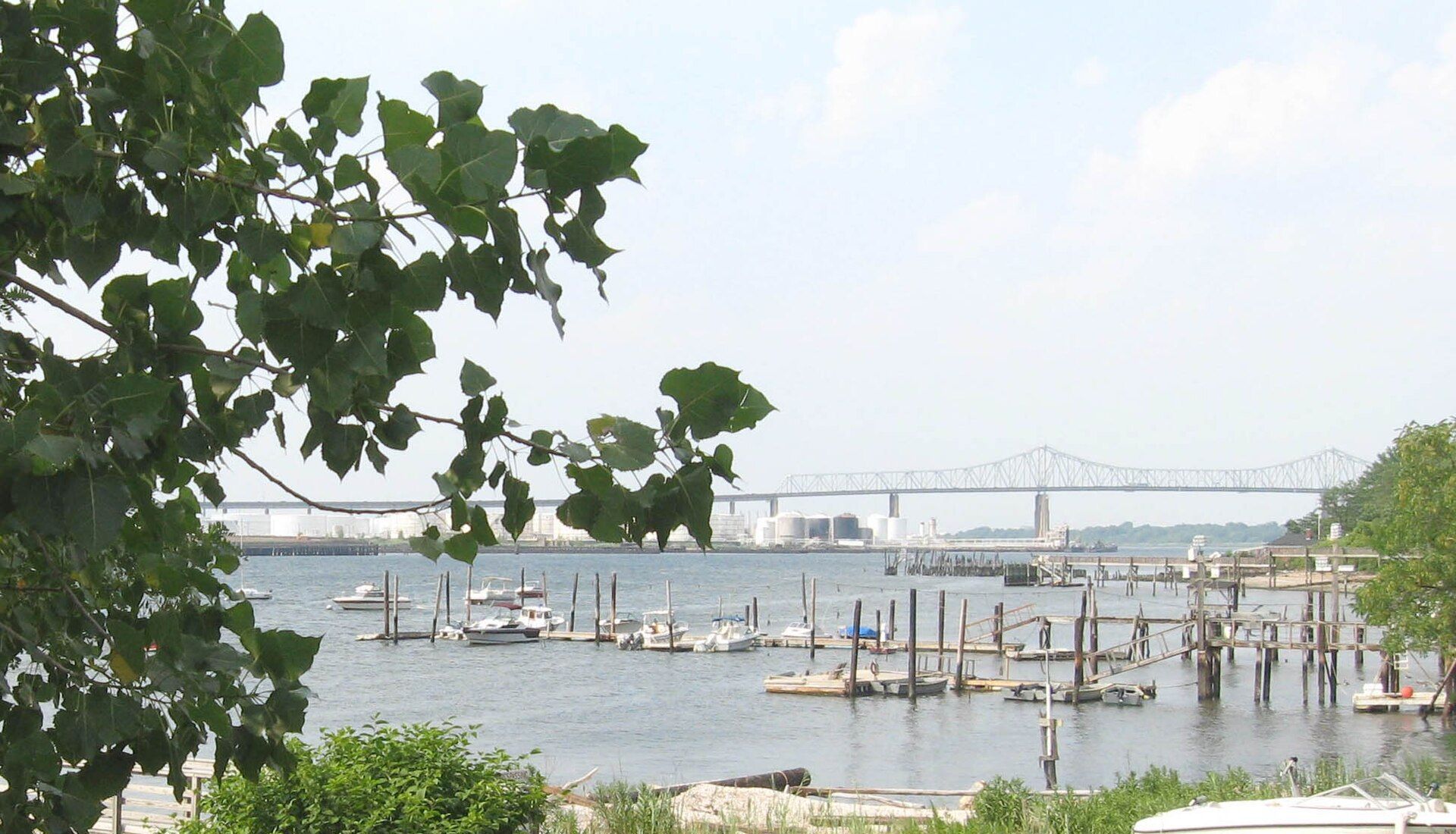
Tottenville
The southern tip of New York State: the 17th-century Conference House at Ward's Point, Main Street's older blocks and the railway's last stop.
1-family $875K · Arthur Kill 0.6 mi
Getting around
Transit & flood primers
Staten Island Ferry
The Staten Island Ferry runs 24 hours a day, seven days a week, between St. George Terminal and Whitehall Terminal in Lower Manhattan, and it is free. Operated by the NYC Department of Transportation, it connects at St. George with the Staten Island Railway and most island bus routes, and at Whitehall with several subway lines. Because the railway collects fares only at St. George and Tompkinsville, the ferry-plus-railway trip is a common daily commute from the East and South Shores.
Express buses
MTA express buses (the 'SIM' routes) run from neighborhoods across the island to Manhattan, some to Lower Manhattan and others to Midtown, traveling either through Brooklyn via the Verrazzano-Narrows Bridge or through New Jersey. They charge a premium fare and run most frequently at rush hours. For parts of the island without rail service, especially the western North Shore and the island's center, express buses are often the most direct transit option to Manhattan. The S79 Select Bus Service also connects Hylan Boulevard to the R train in Bay Ridge, Brooklyn.
Flood risk & disclosure
Staten Island has a long coastline, and Hurricane Sandy in 2012 flooded large parts of the East and South Shores. Before you buy or rent, look up the specific address on FEMA's Flood Map Service Center and on the NYC Flood Hazard Mapper, which shows FEMA's effective maps alongside the preliminary maps the city uses for some building rules. If a building with a federally backed mortgage sits in a FEMA high-risk zone (a Special Flood Hazard Area), the lender will require flood insurance; outside those zones it is optional but often worth pricing, since many flood claims come from lower-risk areas. New York also requires disclosure. Since March 20, 2024, sellers of most residential property must complete the state's Property Condition Disclosure Statement, which now includes questions about whether the property is in a FEMA floodplain, has flood insurance or has had flood damage claims or FEMA assistance (the old $500 credit in lieu of the form was eliminated). Since June 21, 2023, landlords must include a flood history and risk notice in residential leases under Real Property Law §231-b, stating whether the property is in a FEMA floodplain and whether it has had flood damage, and noting that renters' insurance generally does not cover flood losses. Our neighborhood pages show the share of lots in the mapped floodplain as a starting point, not a substitute for a lot-level check.
Compare
Two neighborhoods, side by side
| Metric | St. George | Tottenville |
|---|---|---|
| 1-family median sale | — | $875K |
| 2-family median sale | — | $1.25M |
| Condo median sale | — | — |
| Typical lot (sold homes) | — | 5,000 sq ft |
| Nearest station | St George (SIR) · 0.2 mi | Arthur Kill (SIR) · 0.6 mi |
| Nearest ferry | St. George Ferry Terminal · 0.3 mi | St. George Ferry Terminal · 13.0 mi |
| Express bus routes nearby | None | SIM2, SIM25, SIM26 |
| Average commute (area) | 49 min | 40 min |
| Commute by transit (area) | 36% | 10% |
| Owner-occupied homes (area) | 37% | 81% |
| Parks within ¾ mile | 6 (14 acres) | 6 (401 acres) |
| Lots in FEMA 1% floodplain (area) | 1.6% | 9.8% |
FAQ
Moving to Staten Island
Which Staten Island neighborhoods have a train?
The Staten Island Railway runs from St. George along the East and South Shores to Tottenville, with 21 stations including St. George, Tompkinsville, Stapleton, Grasmere, New Dorp, Great Kills, Huguenot and Tottenville. The North Shore west of St. George has had no passenger rail since 1953, and the island's center has none.
Is the Staten Island Ferry free?
Yes. The ferry between St. George and Whitehall Terminal in Lower Manhattan is free and runs 24 hours a day.
Where can I check whether a Staten Island home is in a flood zone?
Use FEMA's Flood Map Service Center and the NYC Flood Hazard Mapper for the exact address. Sellers must also answer flood questions on New York's Property Condition Disclosure Statement, and landlords must include a flood history and risk notice in residential leases.
How do you drive from Staten Island to other boroughs and New Jersey?
The Verrazzano-Narrows Bridge connects to Brooklyn, and the Goethals Bridge, Bayonne Bridge and Outerbridge Crossing connect to New Jersey. Within the island, the Staten Island Expressway (I-278), West Shore Expressway (NY 440), Korean War Veterans Parkway and Hylan Boulevard carry most traffic.
About this data: area figures use NYC Department of City Planning 2020 Neighborhood Tabulation Areas; neighborhood sales use Department of Finance neighborhood names. Sources: 2020 Neighborhood Tabulation Areas (NTAs) (Updated 2026-11-02); 2020 Census Tracts to 2020 NTAs Equivalency (Updated 2021-09-20); Citywide Rolling Calendar Sales (Updated 2026-10-15); Citywide Annualized Calendar Sales (trend and neighborhood points) (Updated 2026-06-09); Primary Land Use Tax Lot Output (PLUTO) (Updated 2026-08-24); Parks Properties (Updated 2026-10-16); Beaches (Updated 2026-10-15); Facilities Database (Updated 2026-07-16); American Community Survey 5-year estimates (tables B25003, B25024, B25034, B08013, B08303, B08301, B25044) (2020–2024 ACS 5-year); MTA GTFS static feed: subway and Staten Island Railway (Schedule from 2026-11-01); MTA GTFS static feed: Staten Island buses (Schedule from 2026-10-12). Stipple is committed to fair housing: these guides describe places, homes, prices and access, never the people who live there, and every neighborhood gets the same data.
Neighborhoods
Talk to a local agent
Tell us what you're looking for. A licensed Stipple agent will share homes that fit, and we'll let you know when new listings go live in the neighborhoods you pick.
Prefer to call? 718.333.5499