
 United States
 Morocco
 Egypt
For sale
690 Broadway
West Brighton · Staten Island, NY 10310
- Baths
- 0
MLS #2605176 · Listing agent Christine DeHart
About this home
Key facts
- Property type
- Residential
- Lot size
- 10,560 sq ft
- Taxes / yr
- $4,706
- Last updated
- Oct 30, 2026
- MLS #
- 2605176
Home details
Interior
- Bathrooms
- 0 full
Exterior
- Lot size
- 10,560 sq ft
- Lot dimensions
- 80 x 132
From the MLS
Utilities
- Sewer
- Public Sewer
Exterior Details
- Lot Size Area
- 10560
- Lot Size Dimensions
- 80 x 132
- Lot Size Square Feet
- 10560
Community Information
- Parcel Number
- 0314-0207
- Tax Annual Amount
- 4706
- Zoning
- R2
Other Property Information
- Listing Id
- 2605176
- Property Sub Type
- Residential
Monthly payment
$250,000
Estimated monthly payment
$6,549/mo
- Principal & interest
- $6,157
- Property taxes
- $392
Estimate only, not an offer of credit or a loan quote. Excludes homeowners and mortgage insurance.Taxes use the latest annual amount. Your rate and payment depend on your lender, credit and loan type.
Location
Getting around
- Ferry
- St. George Ferry Terminal · 2.4 mi
- Express buses
- SIM30, SIM35
- Local buses
- S44, S46, S48, S53, S54, S94, S96, S98
Distances are straight-line from the neighborhood, not this address.
Flood zone
0.1% of tax lots in West Brighton are in FEMA's 1% annual-chance floodplain (2015 preliminary maps). This is a neighborhood figure; check this address on FEMA's Flood Map Service Center (opens in a new tab).
Schools
Find zoned public schools for this address with the NYC DOE school finder (opens in a new tab).
Read the West Brighton neighborhood guidePublic records
Staten Island block 314, lot 207 (BBL 5003140207), recorded as 690 BROADWAY.
Lot and building
- Building class
- A0 (One family, cape cod)
- Land use
- One & two family buildings
- Lot area
- 10,560 sq ft
- Building area
- 1,725 sq ft
- Floors
- 1.5
- Residential units
- 1
- Year built
- 1949
- Market value (DOF)
- $961,000
- Assessed value
- $57,660
- Tax class
- 1
Assessed value is the part of the market value the Department of Finance taxes, not a sale price.
Source: NYC Open Data, as of Nov 21, 2026.
Zoning
- Zoning district
- R2
- Zoning map
- 21B
- Lower Density Growth Management Area
- Yes
- Transit zone
- Beyond the transit zones
View on ZoLa (opens in a new tab)
Source: NYC Open Data, as of Nov 21, 2026.
Flood maps
- No mapped coastal, stormwater or future flood risk found for this lot
- Hurricane Sandy inundation area
- No
- Stormwater, moderate storm today
- Not mapped
- Stormwater, moderate storm 2050
- Not mapped
- Stormwater, extreme storm 2080
- Not mapped
- Future floodplain
- Not in the projected floodplain
- Coastal erosion hazard area
- No
Outside FEMA's mapped flood zones. Flood insurance is optional; see FloodHelpNY (https://www.floodhelpny.org).
An elevation certificate shows where the building sits relative to the flood zone: FloodHelpNY (opens in a new tab) · NYC Flood Hazard Mapper (opens in a new tab) · FEMA map service (opens in a new tab)
Source: FEMA and NYC Open Data, as of the dates shown. Official flood map facts for this tax lot, not the seller's flood disclosure or an insurance quote. Map dates: Future 0.2% floodplain, 2080s Sep 21, 2026; Stormwater map, moderate storm 2050 Jul 3, 2024; FEMA effective map Nov 17, 2022; Stormwater map, moderate storm today Jul 3, 2024; Future 0.2% floodplain, 2050s Sep 21, 2026; Future 1% floodplain, 2080s Sep 21, 2026; FEMA 2015 preliminary map Jan 30, 2015; Hurricane Sandy inundation area Nov 9, 2015; Future 1% floodplain, 2050s Sep 21, 2026; Stormwater map, extreme storm 2080 Jul 3, 2024; Hurricane evacuation zones Nov 2, 2026; Coastal erosion hazard areas Sep 18, 2026; Special coastal risk districts Oct 1, 2026.
Building permits
- Permits, last 10 years
- 3
- Filings not signed off
- 0
- Open DOB violations
- 0
Full permit and violation history (DOB BIS) (opens in a new tab)
Source: NYC Department of Buildings via NYC Open Data, as of Nov 1, 2026.
Official records
- Zoning map (ZoLa) (opens in a new tab)
- Property taxes and assessment (DOF) (opens in a new tab)
- Permits and violations (DOB BIS) (opens in a new tab)
- Recorded deeds and mortgages (ACRIS) (opens in a new tab)
Older Staten Island deeds may be on file with the Richmond County Clerk instead of ACRIS.
Public records for information only. Not a consumer report. Compiled by Stipple from New York City and federal open data; not affiliated with or endorsed by the City of New York. Verify anything important with the agency or a professional.
West Brighton market
Recorded sales from the NYC Department of Finance, rolling 12 months. Medians from fewer than 10 sales are hidden.
- Median 1-family sale
- $690K
- Median price / sq ft
- $476
- Sales, last 12 months
- 62
- Median lot
- 3,780 sq ft
- West Brighton
- All Staten Island
View data table
| Year | West Brighton | All Staten Island |
|---|---|---|
| 2016 | $409,000 | $437,000 |
| 2017 | $479,000 | $480,000 |
| 2018 | $470,000 | $525,000 |
| 2019 | $500,000 | $530,000 |
| 2020 | $540,000 | $550,000 |
| 2021 | $604,000 | $590,000 |
| 2022 | $624,000 | $639,000 |
| 2023 | $605,000 | $635,000 |
| 2024 | $650,000 | $665,000 |
| 2025 | $663,000 | $710,000 |
More homes for sale
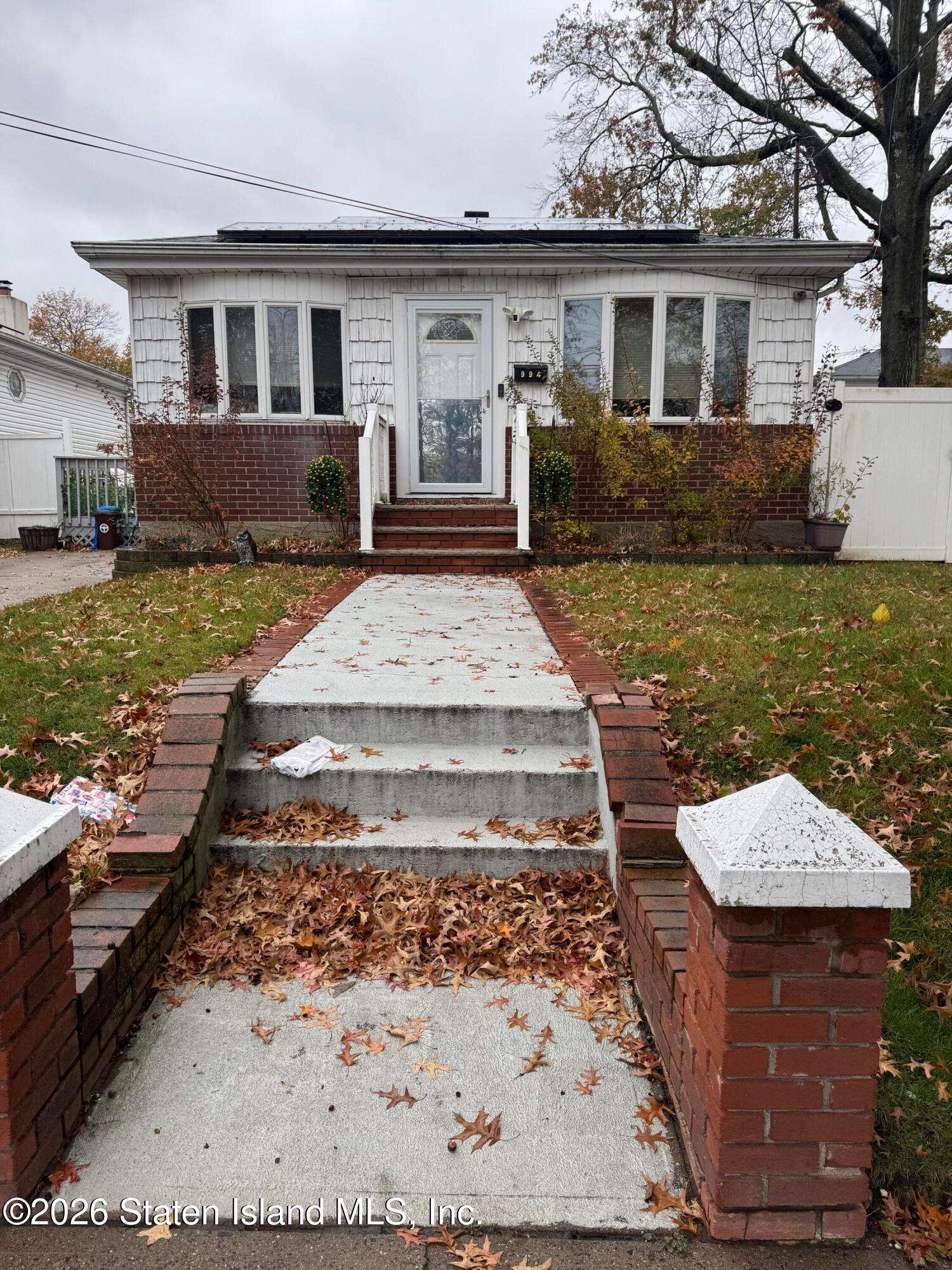
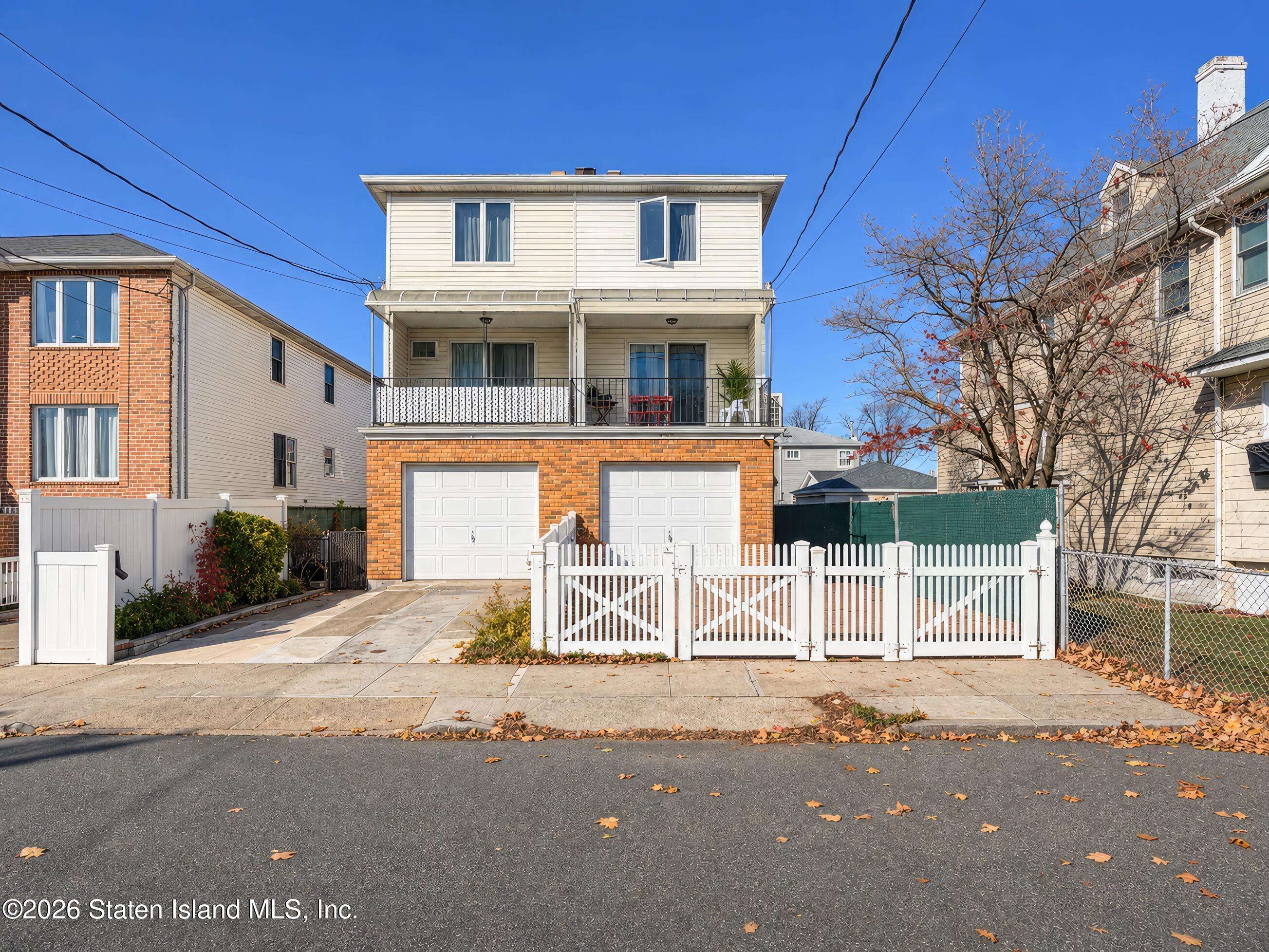
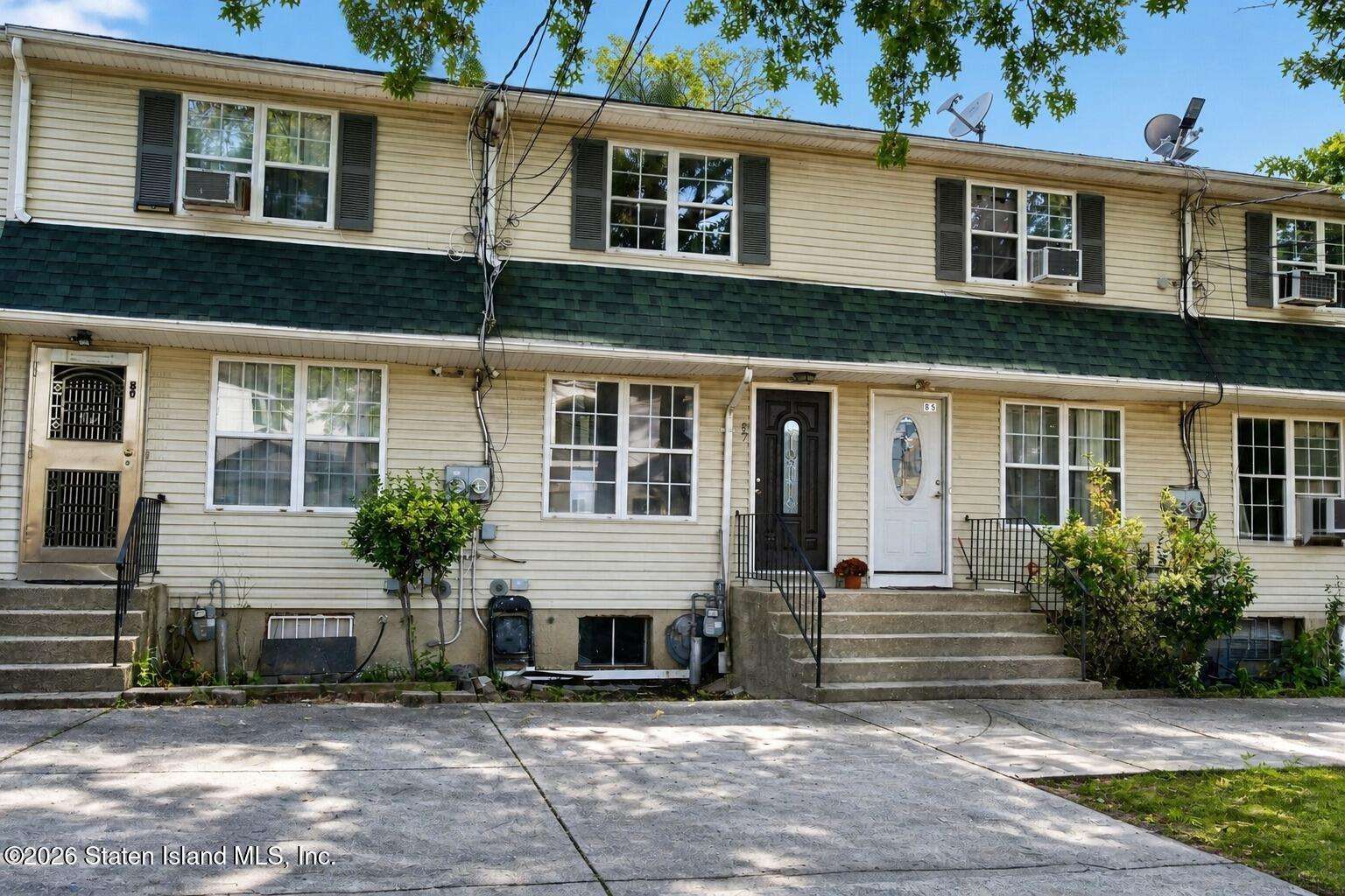
Listing courtesy of Real Broker NY, LLC, (855) 450-0442, broker license #10391203478. Listing agent: Christine DeHart, license #10301215715. MLS #2605176.
Listing information is provided by the Staten Island Board of REALTORS® MLS. Information is deemed reliable but not guaranteed and should be independently verified. Data last updated Nov 20, 2026, 10:56 PM ET.
Stipple, Inc. is not the listing broker for this home. If you ask about it, a Stipple agent can represent you as the buyer's agent.
Stipple, Inc. is a licensed real estate broker in New York. New York State Fair Housing Notice (opens in a new tab) · NYS Housing and Anti-Discrimination Disclosure (opens in a new tab) · Standard Operating Procedures.
Equal Housing Opportunity